
Shopping cart,
0 products
There are no products in your shopping cart.
Nội dung bài viết
Before planning your journey, these essential facts provide a clear overview.
UNESCO designation: UNESCO Global Geopark
Area: Approximately 234,500 hectares
Geological history: More than 550 million years
Limestone coverage: Approximately 60 percent
Ethnic groups: 17 communities
Famous landscapes: Ma Pi Leng Pass, Nho Que River, Tu San Canyon
Popular travel duration: Three to four days
Recommended travel style: Easy Rider, motorbike, Jeep, or private vehicle
UNESCO records important sedimentary, igneous, and metamorphic formations throughout the region.
Ancient fossils provide evidence of marine life that existed hundreds of millions of years ago.
The geopark also supports rare wildlife and culturally diverse mountain communities.
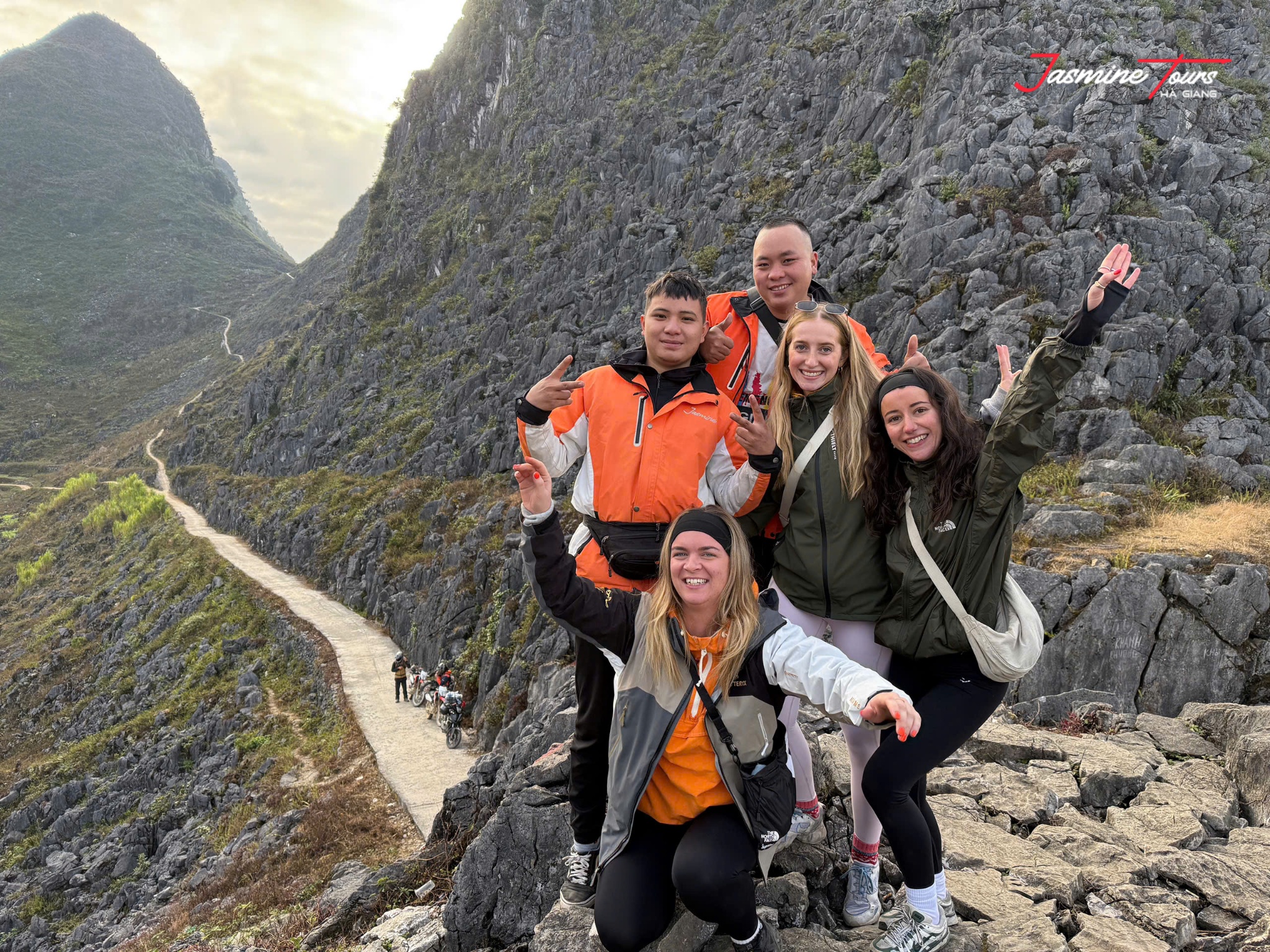
The landscape represents an exceptional geological record.
Its rocks reveal more than 550 million years of Earth’s history.
UNESCO identifies evidence connected with two major extinction events.
One occurred around 360 million years ago. Another happened approximately 250 million years ago.
Scientists have discovered fossils of ancient fish, corals, trilobites, brachiopods, and other marine organisms.
These discoveries show that today's mountains were shaped by environments very different the present landscape.
Water later became one of nature's greatest sculptors.
Rain slowly dissolved limestone. Rivers carved deeper channels. Erosion opened valleys and dramatic cliffs.
Millions of years transformed ancient seabeds towering mountains.
Walking through this landscape is therefore like opening an enormous book made stone.
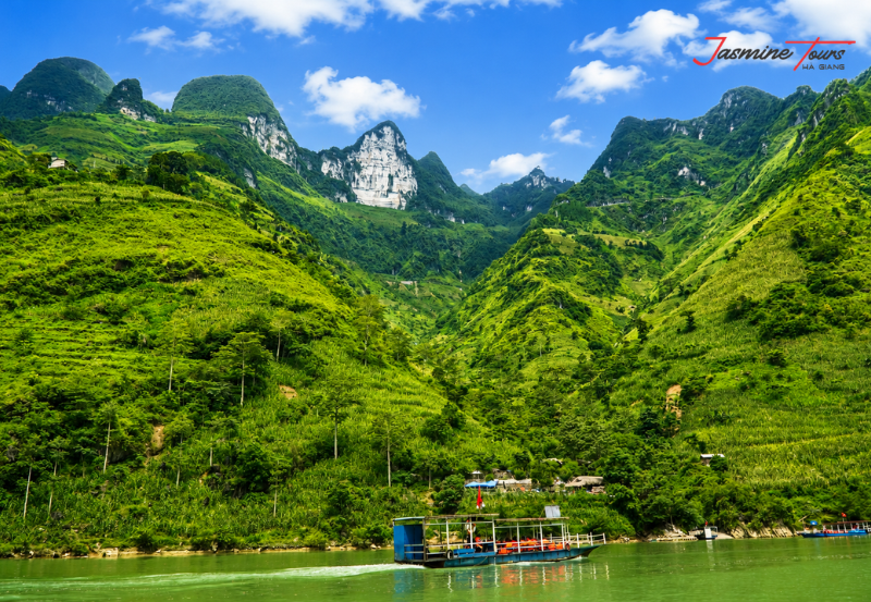
The geopark lies in the mountainous Ha Giang region of northern Vietnam.
Following Vietnam's administrative changes, the Ha Giang region now forms part of the expanded Tuyen Quang Province. Tourism continues using "Ha Giang" for the historic destination.
Travelers normally enter the karst landscape after travelling north toward Quan Ba and Yen Minh.
Vietnam Tourism describes Quan Ba as the gateway to the limestone peaks and rock-covered fields of the geopark.
The scenery changes noticeably as the road climbs.
Green valleys gradually become steeper. Limestone formations appear more frequently.
Small villages sit between cliffs and agricultural fields.
Eventually, stone seems to dominate the horizon.
That transition is one reason the journey feels so dramatic.
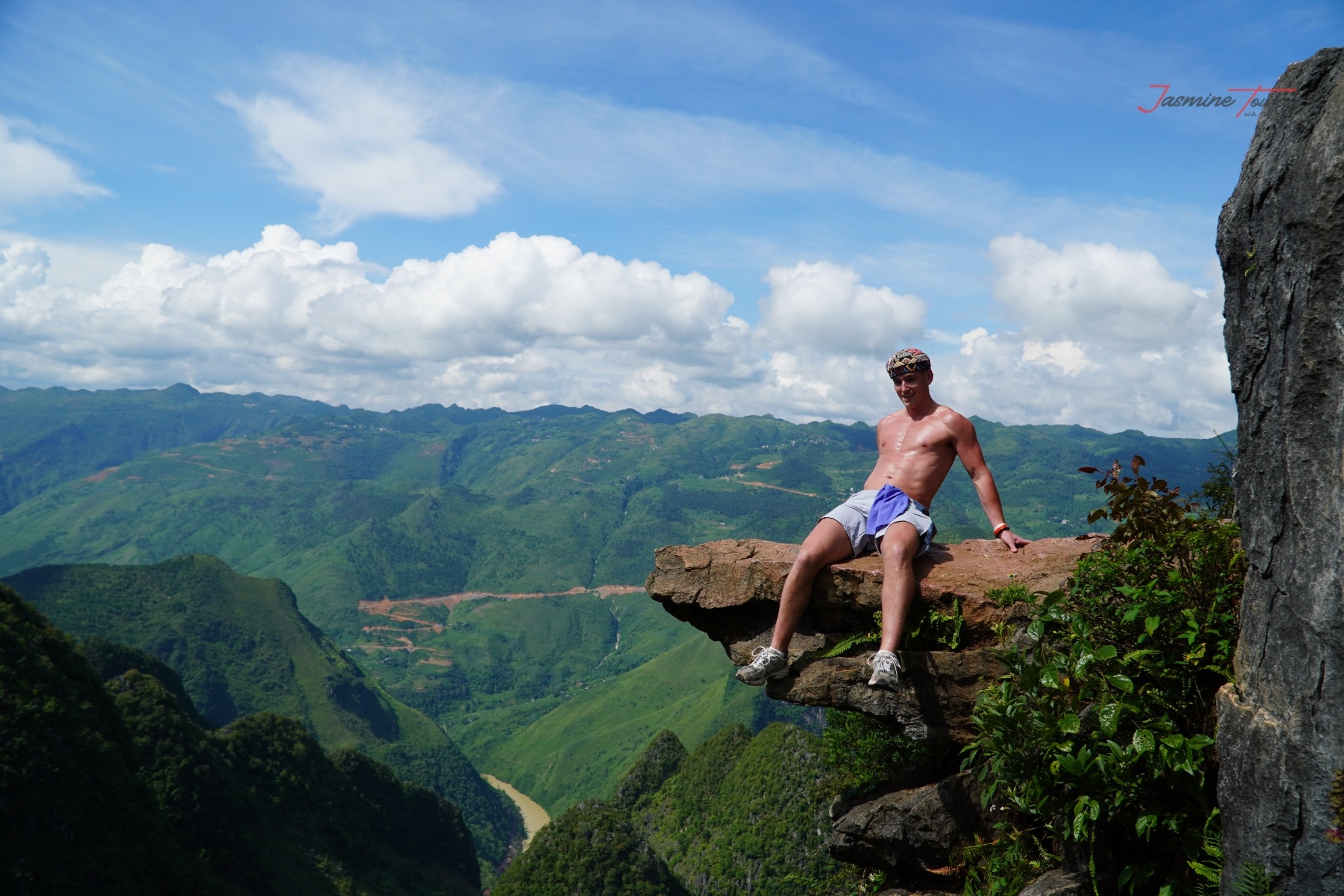
Ma Pi Leng Pass is among the region's most famous landscapes.
The pass rises to approximately 1,200 metres. suitable viewpoints, travelers can see towering peaks and Nho Que River below.
Tu San Canyon creates another unforgettable perspective.
UNESCO describes the canyon as approximately 700–800 metres deep. It is one of Southeast Asia's remarkable canyon landscapes.
Dong Van is another important stop.
Its ancient quarter contains preserved houses reflecting regional architecture and cultural history.
Quan Ba Heaven Gate offers wider valley views and an introduction to the karst landscape.
Travelers can also visit Sa Phin and the historic Vuong Family Palace.
Further north, Lung Cu provides sweeping views over remote mountain country.
Together, these destinations reveal different layers of the same landscape.
Some tell geological stories.
Others tell human ones.

The geopark is not an empty wilderness.
UNESCO identifies 17 ethnic groups living within the region.
These include Mong, Lo Lo, Dao, Tay, Co Lao, Bo Y, and other communities.
Mong communities represent more than 60 percent of the geopark's population. Some groups have lived in the region for centuries.
Culture remains visible through clothing, markets, architecture, agriculture, music, and traditional crafts.
Stone also influences everyday life.
Families cultivate crops between limestone formations. Houses stand behind stone walls. Mountain markets connect scattered communities.
Visitors should remember that these villages are living communities.
Always request permission before photographing residents.
Avoid entering private homes or fields without invitation.
Respect markets as places of commerce and social connection.
Local culture should be experienced through curiosity rather than observation alone.
A short conversation can become more memorable than another photograph.

Every season creates a different landscape.
January and February are associated with peach and plum blossoms.
UNESCO highlights these months for their colourful flowering scenery.
Spring generally brings fresh vegetation and comfortable daytime conditions.
Summer turns valleys and mountains deep green.
However, heavier rainfall can affect visibility and mountain roads.
Autumn is particularly popular.
October and November bring pinkish-white buckwheat flowers across hillsides and fields.
Winter creates colder mornings and atmospheric fog.
Clouds sometimes swallow entire mountains before disappearing minutes later.
There is no single perfect season.
Photographers may prefer flowers and clear autumn landscapes.
Travelers seeking greener scenery may enjoy summer.
Those wanting quieter roads may appreciate winter.
Always check the current forecast before travelling.
Mountain conditions can change faster than regional forecasts suggest.
The geopark forms one of the most important sections of the Ha Giang Loop.
A typical four-day journey may follow:
Ha Giang → Quan Ba → Yen Minh → Tham Ma Pass → Dong Van → Ma Pi Leng Pass → Meo Vac → Du Gia → Ha Giang
Vietnam Tourism describes a four-day road trip following the mountainous route through the region. The journey enters the limestone landscape soon after heading north.
Three days can cover many major highlights.
However, four days usually provide a more comfortable rhythm.
Extra time allows longer photography stops and cultural experiences.
It also provides flexibility when weather changes.
At Jasmine Tours, the region can be explored through Easy Rider, self-riding, Jeep, and private journeys.
The best itinerary should not turn the mountains a checklist.
Sometimes the strongest memories appear between famous attractions.
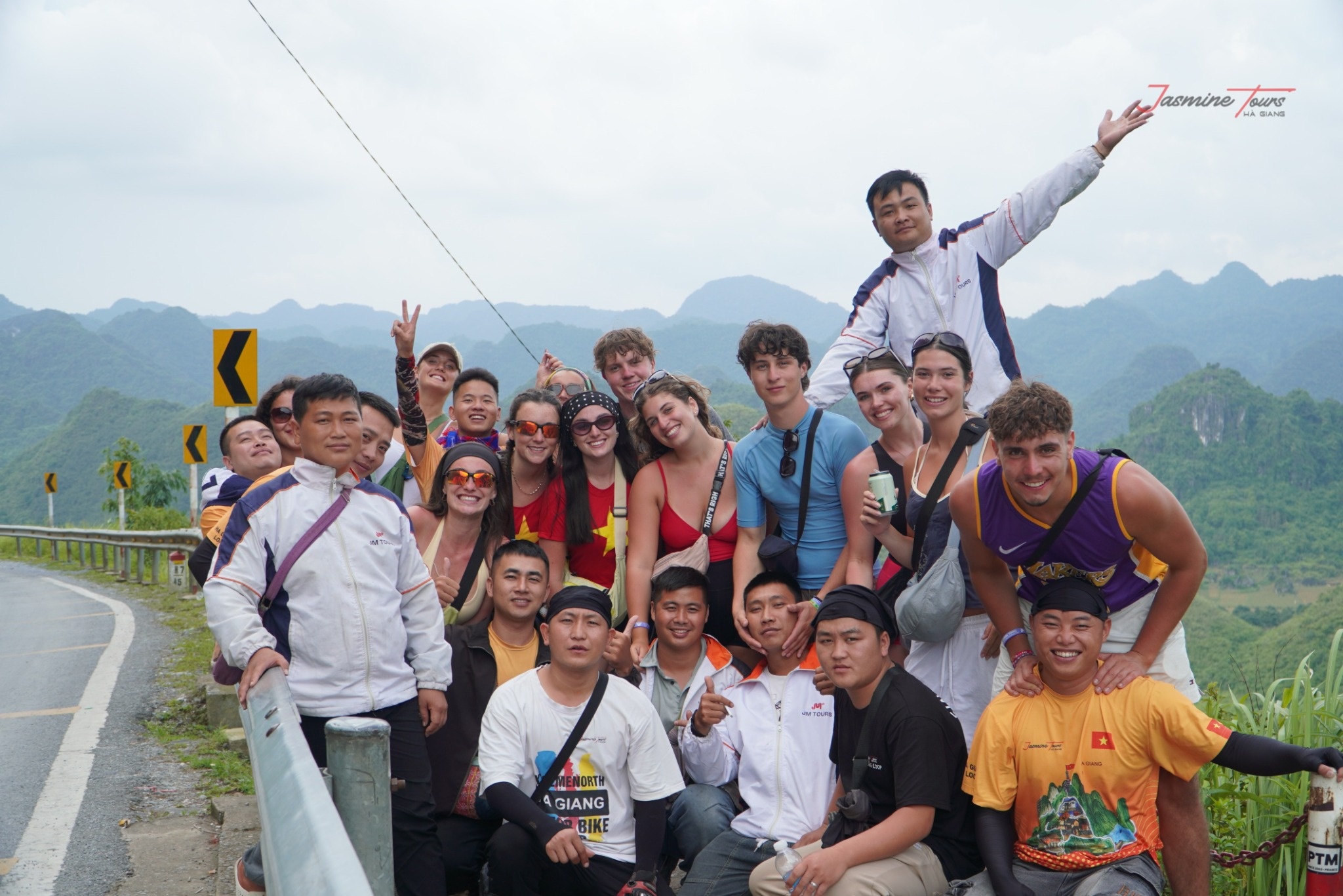
Transportation can change your entire experience.
Self-riding provides independence and direct interaction with the road.
However, mountain riding requires genuine experience.
The route includes steep climbs, tight corners, changing surfaces, fog, rain, livestock, and limited visibility.
Travelers should verify their driving documents and insurance before choosing self-riding.
An Easy Rider allows visitors to travel as passengers with experienced local drivers.
This option reduces navigation pressure and lets travelers focus on scenery.
Vietnam Tourism currently recommends using local drivers on these challenging mountain roads for safety.
A Jeep offers additional comfort and weather protection.
It can suit families, photographers, older travelers, or visitors avoiding motorcycles.
Jasmine Tours provides several travel styles for different experience levels.
Choose the vehicle that matches your ability.
Adventure should never require pretending you have skills you do not possess.
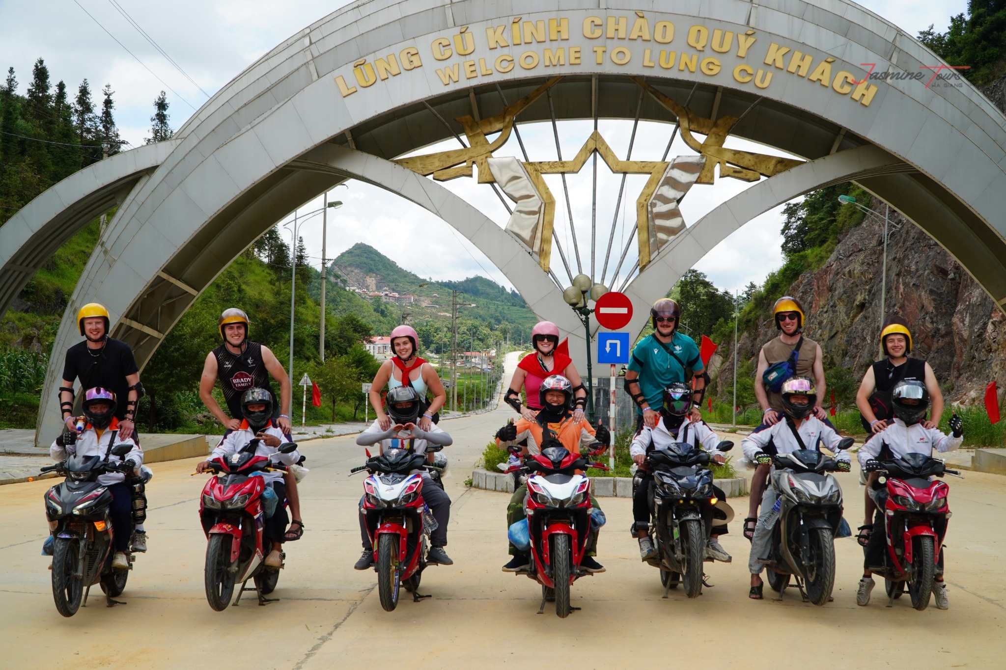
Ancient geological heritage still depends on modern environmental responsibility.
Jasmine Tours created Plant Today – Green Tomorrow to connect tourism with tree planting.
During selected journeys, travelers can plant young trees with local Easy Riders and communities.
A tree looks tiny beside a limestone mountain.
Yet every forest begins with something equally small.
The project encourages visitors to leave more than tire tracks behind.
Tree planting can support greener landscapes while creating stronger connections between visitors and the places they explore.
The experience also carries a simple message.
Travel should not only take memories a destination.
It should create positive value wherever possible.
Long after travelers return home, their young trees can continue growing.
Jasmine Tours presents this initiative as part of its approach to greener tourism in the Ha Giang region.

Safety begins before entering the mountains.
Motorcycle travelers should wear suitable helmets, closed footwear, and protective clothing.
Rain protection should remain easily accessible.
Never stop inside blind corners for photographs.
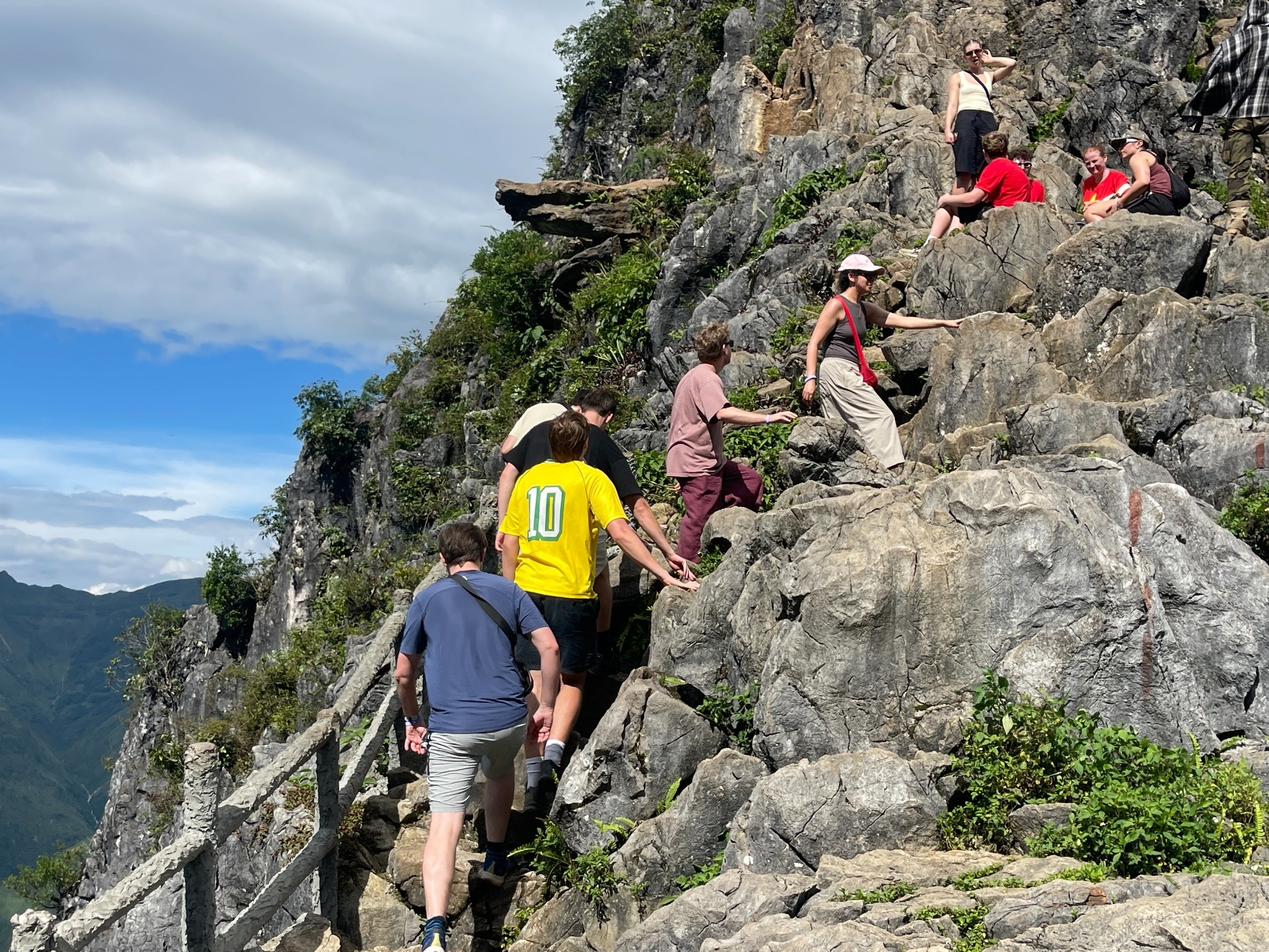
Avoid climbing barriers near steep drops.
Self-riders should slow before bends and maintain safe distances.
Weather may require route changes.
Fog, heavy rain, roadworks, or landslide risks can affect mountain travel.
Vietnam Tourism describes the Loop as challenging and recommends local guidance.
Responsible travel also protects culture and nature.
Take rubbish away viewpoints.
Never remove rocks or fossils.
Stay on established paths.
Respect farmland and private property.
Ask before photographing residents.
Support local accommodation, restaurants, guides, and crafts when appropriate.
A UNESCO Global Geopark is not simply a place to consume.
It is a landscape worth protecting for the people living there tomorrow.
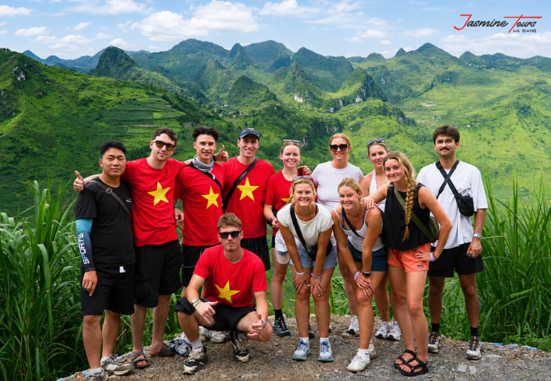
The Dong Van Karst Plateau is one of northern Vietnam's most remarkable destinations.
Yet its greatest value reaches far beyond beautiful mountains.
More than 550 million years of geological history lie beneath its roads and villages.
Above those ancient rocks, local communities continue farming, trading, celebrating, and protecting their traditions.
Travelers can discover the landscape by Easy Rider, motorbike, Jeep, or private vehicle.
The right choice depends on experience, comfort, weather, and personal expectations.
With Jasmine Tours, the journey can also connect adventure with responsible tourism and environmental action.
Look beyond the famous viewpoints.
Notice the stone walls, small farms, quiet villages, and changing mountain light.
The limestone peaks may appear silent.
But every canyon, fossil, road, and community carries a story.
Travel slowly enough to hear it.
There is 0 comment, review about Dong Van Karst Plateau : Complete UNESCO Geopark Guide
TVQuản trị viênQuản trị viên
Xin chào quý khách. Quý khách hãy để lại bình luận, chúng tôi sẽ phản hồi sớm