
Shopping cart,
0 products
There are no products in your shopping cart.
The pass lies on National Highway 4C, along the route leading toward the Đồng Văn Karst Plateau.
It is commonly visited between Yên Minh and the cultural attractions around Phố Cáo, Sủng Là, and Sà Phìn.
Travelers following the classic Ha Giang Loop usually reach this location during the journey toward Đồng Văn.
The road rises through steep terrain using several connected hairpin bends. above, the curves resemble a soft ribbon folded across the mountain.
Jasmine Tours includes this stop during the Yên Minh–Mèo Vạc section of its extended route. The same day may include local villages, the Vương Family Palace, Lũng Cú, and Đồng Văn.
The viewpoint is accessible by motorcycle, Easy Rider, Jeep, or private vehicle.
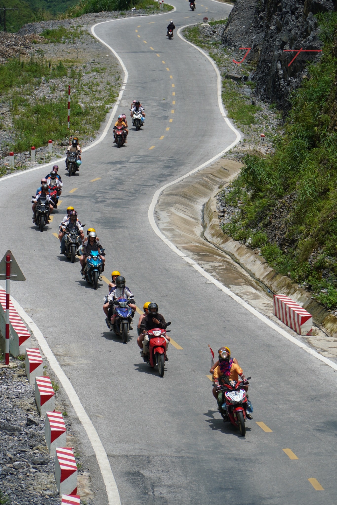
2. What Does the Name Mean?
Local accounts commonly connect the name “Thẩm Mã” with the idea of testing horses.
Before modern roads reached the plateau, horses played an important role in mountain transportation.
The steep slope reportedly tested each animal’s strength and endurance. Horses that crossed successfully were considered stronger and more suitable for difficult journeys.
This story explains why the name is often interpreted as “testing horses.”
The account has been passed through local storytelling rather than one single historical document. Therefore, it is best understood as a regional legend.
The story reflects something deeper about mountain life.
For generations, people adapted to steep terrain, limited transport, and challenging weather. The road was not simply a route between villages.
It was a test of patience, strength, and survival.
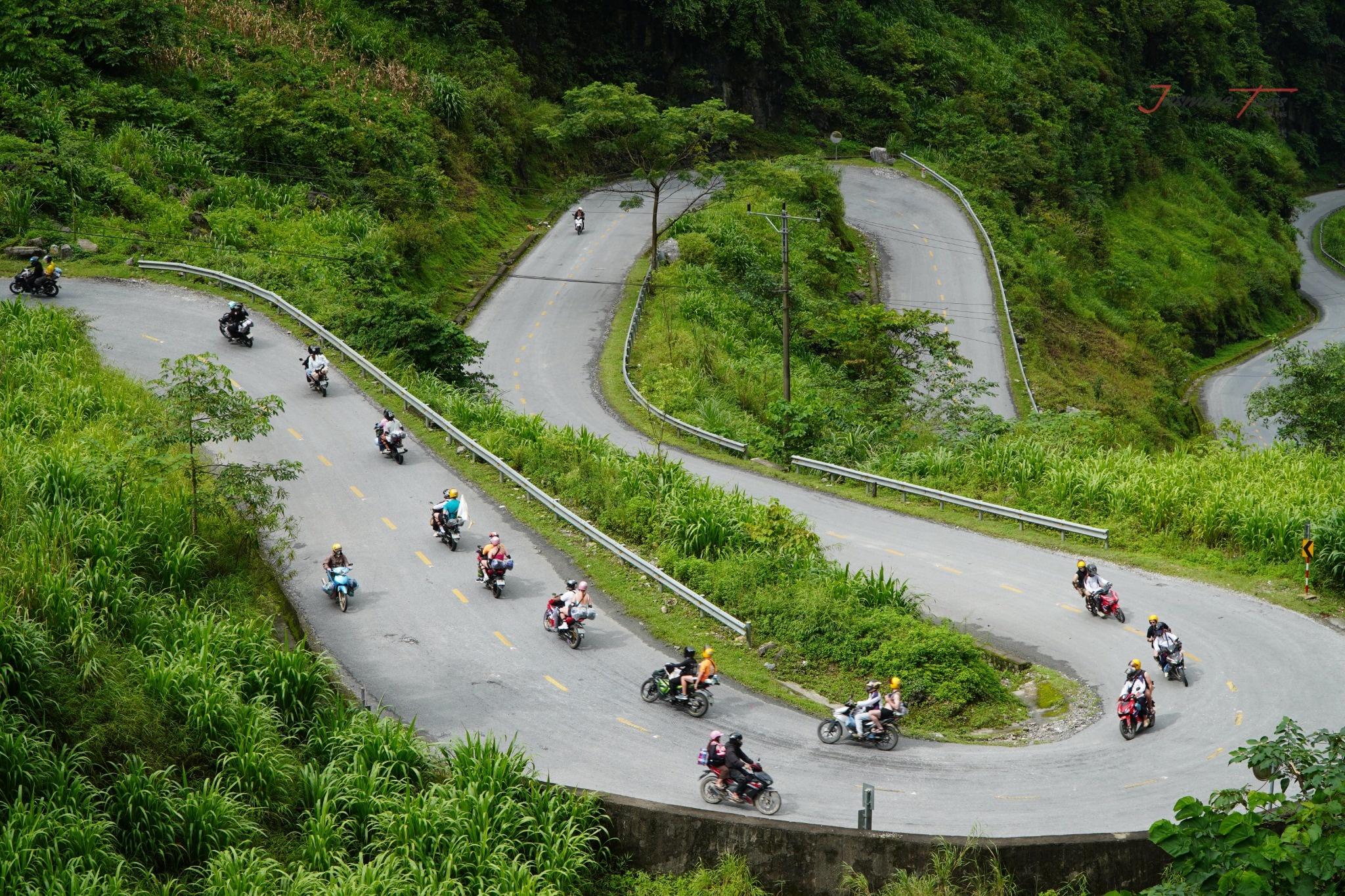
3. Why Is the Pass So Famous?
The attraction is famous for its combination of steep mountains and continuous curves.
elevated viewpoints, visitors can see the road folding repeatedly across the slope. Motorcycles appear as tiny moving dots between enormous limestone peaks.
The landscape feels both powerful and delicate.
Grey rock rises like an ancient fortress. Green vegetation softens its sharp edges during warmer months.
Unlike Mã Pí Lèng, this location does not overlook the Nho Quế River. Its beauty comes the road itself.
The curves reveal how people built connections through difficult mountain terrain.
The surrounding area belongs to the wider Đồng Văn Karst Plateau landscape. UNESCO describes this region as containing dramatic peaks, deep canyons, and extensive limestone systems.
Its geological history stretches beyond 550 million years.

4. When Is the Best Time to Visit?
Every season gives the pass a different personality.
Spring brings softer colours and flowering trees. Peach and plum blossoms can brighten villages and roadsides during January and February.
Summer covers the surrounding mountains with deep green vegetation. Rain can create dramatic clouds, but it may also reduce visibility.
Autumn often brings cooler conditions and clearer views. October and November are also associated with buckwheat flowers across the wider geopark.
Winter creates a quieter and more mysterious landscape. Thick mist may cover the bends and hide distant peaks.
UNESCO highlights January and February for peach and plum blossoms. It identifies October and November for buckwheat flowers.
No season guarantees perfect visibility. Mountain weather can change quickly.
Check the latest forecast before departure. Allow your guide to adjust the schedule when necessary.
5. Where Should You Stop for Photographs?
The safest photographs come designated roadside stopping areas.
Never stand in the traffic lane, even when the road appears quiet. Vehicles can arrive suddenly around blind corners.
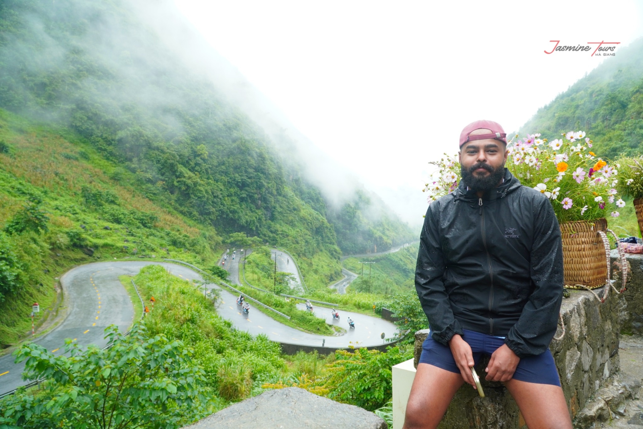
The elevated viewpoint offers the clearest view of the connected bends.
A wide photograph can capture the road, mountains, visitors, and passing riders. A longer lens can isolate individual curves below.
Early morning often provides softer light and fewer vehicles. Late afternoon can create warmer tones across the mountains.
Weather may matter more than the exact hour.
Mist creates a cinematic atmosphere. Clear skies reveal distant layers of limestone peaks.
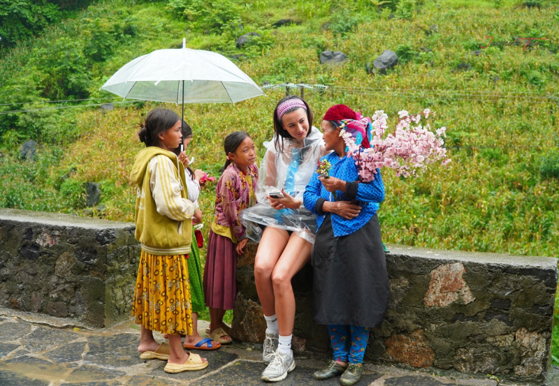
Ask permission before photographing local residents or children. A friendly interaction should come before the camera.
The best picture is not always the most dramatic one.
It is the image created safely and respectfully.
6. How Does It Fit the Ha Giang Loop?
This stop usually appears before travelers reach Đồng Văn.
A typical extended itinerary follows:
Ha Giang City → Quản Bạ → Yên Minh → Thẩm Mã → Sủng Là → Sà Phìn → Lũng Cú → Đồng Văn.
The route then continues toward Mã Pí Lèng, Mèo Vạc, Mậu Duệ, and Du Già.
Jasmine Tours commonly places the pass on the second travel day. This arrangement allows visitors to combine road scenery with historical and cultural attractions.
Three-day journeys can include the major viewpoint. However, the daily schedule may feel faster.
Four days provide more time for village visits, photographs, and weather-related changes.
The separate three-day Hà Giang–Cao Bằng itinerary uploaded for this project follows Bắc Mê, Bảo Lạc, Pác Bó, Bản Giốc, and Cao Bằng. It does not list this pass.

7. Plant Today – Green Tomorrow: Protecting the Mountains
Beautiful roads depend on healthy mountain landscapes.
Jasmine Tours created Plant Today – Green Tomorrow to connect travel with environmental responsibility.
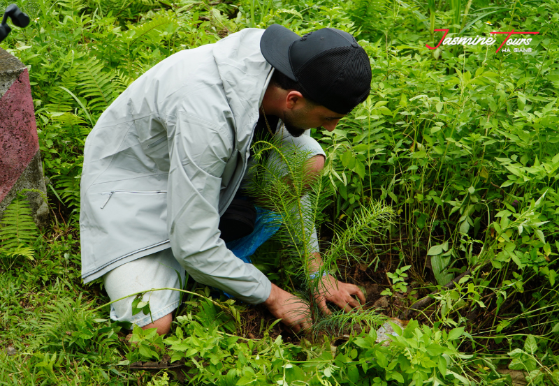
During selected journeys, guests can plant a young tree with local Easy Riders and communities.
The trees are placed in designated areas prepared for long-term care. They can support greener landscapes and stronger soil systems.
This project transforms a brief visit something lasting.
A small tree may appear fragile beside the mountains. Yet every forest begins with one living seedling.
The initiative encourages travelers to leave more than tyre tracks behind. It also connects tourism with local participation and environmental restoration.
Long after the journey ends, the planted tree can continue growing.
It becomes a quiet memory rooted in the land.
Conclusion
Tham Ma Pass is more than a collection of famous mountain bends.
It tells a story about endurance, connection, and human adaptation.
The road climbs like a question written across the mountainside. Every curve seems to ask whether travelers can move with patience.
Some visitors remember the panoramic photograph. Others remember mist drifting across the road.
Many remember the local driver who guided them safely through each corner.
With Jasmine Tours, the stop can become part of a broader journey through geology, history, community, and responsible travel.
Choose the right vehicle. Follow local safety guidance. Respect the people living beside the road.
The mountains do not need visitors to conquer them.
They ask only to be explored carefully, gratefully, and with an open heart.
There is 0 comment, review about Tham Ma Pass : Complete Guide to Ha Giang’s Iconic Mountain Road
TVQuản trị viênQuản trị viên
Xin chào quý khách. Quý khách hãy để lại bình luận, chúng tôi sẽ phản hồi sớm