
Shopping cart,
0 products
There are no products in your shopping cart.
Nội dung bài viết
A Ha Giang Loop map shows the circular route through Vietnam’s northernmost mountain province. Most travelers begin and end in Ha Giang City, then follow roads through Quan Ba, Yen Minh, Dong Van, Meo Vac, and Du Gia.
The map is useful because this route is not only about distance. It is about elevation, road curves, weather, viewpoints, local villages, and safe daily timing. Ha Giang is described by Vietnam’s official tourism website as a remote northern border province with rugged landscapes, minority villages, and a strong road-trip identity.
For travelers, the map answers practical questions:
A map should guide your plan, not force you to rush. In Ha Giang, the best journey is rarely the fastest one.
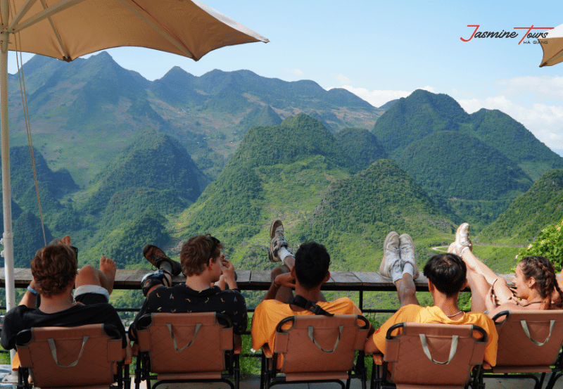
Many travelers look at the route and think it is simple. It appears like a circle. In reality, this mountain journey is full of sharp turns, steep climbs, foggy sections, and remote areas where mobile signal can be weak.
A proper map helps you avoid three common mistakes.
First, it prevents unrealistic planning. Some visitors try to cover too much distance in one day. This creates fatigue and reduces safety.
Second, it helps you understand the landscape. The route passes through karst mountains, deep valleys, rivers, and highland communities.
Third, it helps you prepare for changing conditions. Vietnam Tourism notes that July and August can bring regular monsoons, while September to November is cooler and often better for visiting Ha Giang.
At Jasmine Tours, we treat the map as a living plan. The route may be adjusted based on weather, road conditions, group ability, and safety.
The classic route usually follows this direction:
Ha Giang City → Quan Ba → Yen Minh → Dong Van → Meo Vac → Du Gia → Ha Giang City
This route brings travelers through the most iconic landscapes in the province.
Quan Ba is often the first major mountain area after leaving Ha Giang City. It is known for Heaven Gate, wide valley views, and the famous Twin Mountains.
Yen Minh is a quiet overnight stop surrounded by pine hills and limestone scenery.
Dong Van is one of the most important towns on the route. It gives access to the Dong Van Karst Plateau, Lung Cu Flag Tower, local markets, and old streets.
Meo Vac is connected to Dong Van by Ma Pi Leng Pass. Vietnam Tourism calls Ma Pi Leng the jewel of Ha Giang’s road experience, where the road curves above the Nho Que River.
Du Gia offers a softer ending, with rice fields, villages, waterfalls, and a slower rhythm before returning to Ha Giang City.
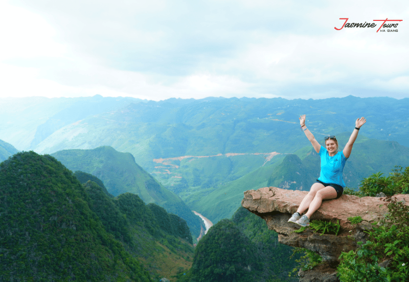
A strong route plan should include both famous highlights and practical rest points.
Quan Ba Heaven Gate
This is often the first emotional moment of the trip. here, travelers begin to understand the scale of the mountains.
Yen Minh Pine Forest
This area feels calmer and cooler. It is a good place to slow down before entering the deeper limestone region.
Tham Ma Pass
This winding road is one of the most photographed sections. It also reminds riders why careful speed control matters.
Dong Van Ancient Town
This is a good overnight stop with food, coffee, old houses, and access to nearby cultural sites.
Lung Cu Flag Tower
This northern landmark is a popular side trip Dong Van.
Ma Pi Leng Pass
This is one of the most dramatic sections on the map. UNESCO also highlights Ma Pi Leng and the Nho Que River as major landscape features of the Dong Van Karst Plateau area.
Nho Que River
Many travelers add a boat trip here. It is best planned with enough time, not as a rushed stop.
Du Gia Village
Du Gia is ideal for travelers who want a more peaceful rural atmosphere.
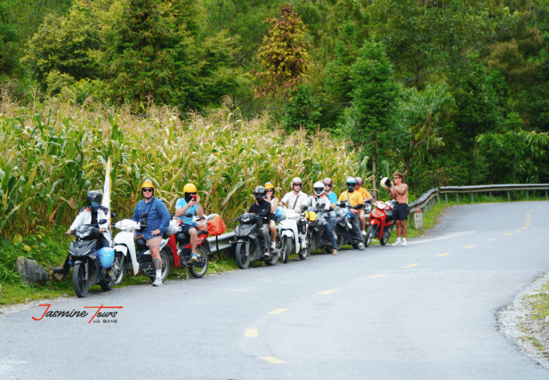
A 3-day route is possible, but it requires a focused schedule. It is suitable for travelers with limited time.
Day 1: Ha Giang City → Quan Ba → Yen Minh → Dong Van
This day includes mountain gates, valley views, and many photo stops. It can feel long, so early departure is important.
Day 2: Dong Van → Lung Cu → Ma Pi Leng → Meo Vac
This is the most scenic day for many guests. It includes the northern border area, high passes, and dramatic river views.
Day 3: Meo Vac → Mau Due → Du Gia → Ha Giang City
This day brings quieter valleys and rural scenery before returning to the city.
A 3-day map works best when travelers accept that they cannot stop everywhere. It gives the main highlights, but less time for slow cultural experiences.
A 4-day route is often more balanced. It gives travelers time to enjoy the views, meet local people, and rest properly.
Day 1: Ha Giang City → Quan Ba → Yen Minh
This is a gentle introduction to the mountains.
Day 2: Yen Minh → Dong Van → Lung Cu → Dong Van
This day focuses on limestone landscapes, cultural stops, and the northern border area.
Day 3: Dong Van → Ma Pi Leng → Nho Que River → Meo Vac or Du Gia
This is the heart of the journey. With more time, travelers can enjoy Ma Pi Leng without rushing.
Day 4: Du Gia → Local villages → Ha Giang City
The final day feels softer, greener, and more peaceful.
For most first-time travelers, Jasmine Tours usually recommends 4 days when time allows. The map becomes less stressful, and the journey feels deeper.

A route map cannot show every real-life risk. It may not show fog, landslides, animals on the road, tired riders, or sudden rain.
For YMYL travel safety, these points are important:
License rules also matter. Vietnam’s transport regulation on international driving permits refers to the 1968 Vienna Convention, and foreign IDP holders in Vietnam must carry both the IDP and the relevant domestic driving license for the vehicle category they operate.
Travelers without legal motorbike documents or enough mountain-riding experience should strongly consider an Easy Rider, jeep, or private car option.
A digital map can show roads. It cannot always show road quality, local timing, weather patterns, or where a group should stop safely.
This is where local experience matters.
Jasmine Tours uses route knowledge local drivers and guides who understand Ha Giang’s mountain roads. They know which sections become slippery after rain. They know where large groups should stop and where they should not. They also understand how to balance famous viewpoints with quieter local areas.
This improves the guest experience in three ways.
First, it makes the journey safer.
Second, it makes the route more meaningful.
Third, it helps travelers avoid treating Ha Giang as only a photo background.
A good map tells you where to go. A good local guide helps you understand how to travel there respectfully.
Ha Giang’s beauty is powerful, but it is also fragile. More travelers mean more pressure on roads, villages, viewpoints, waste systems, and natural landscapes.
That is why Jasmine Tours connects travel with action through Plant Today – Green Tomorrow.
The idea is simple: a journey through the mountains should give something back to the mountains.
Through this project, Jasmine Tours encourages travelers to support tree planting and environmental awareness along the route. The experience is not presented as a separate charity activity. It is woven naturally the journey.
When guests ride through valleys, stop near forests, and meet local Easy Riders, they begin to understand that tourism and nature are connected. A tree planted today can become shade, soil protection, and a small symbol of gratitude tomorrow.
This approach fits the spirit of the Ha Giang Loop map. The map should not only show where travelers go. It should also remind them what they leave behind.
The route can be traveled year-round, but each season changes the experience.
March to April is mild and good for scenery.
May to August can be green and dramatic, but rain may affect road safety.
September to November is one of the most popular periods because the weather is cooler. Vietnam Tourism also notes that November is connected with the Buckwheat Flower Festival.
December to February can be cold and foggy, especially in high mountain areas.
For map planning, weather affects:
Before departure, always check the latest forecast and ask local guides about current road conditions.
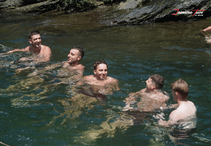
Before following your map, prepare carefully.
Bring:
Do not pack too much. Heavy luggage makes motorbike travel harder and less comfortable.
Travelers joining Jasmine Tours can usually store big luggage before the journey and carry only a smaller bag for the route.
A ha giang loop map is the first step toward understanding one of Vietnam’s most powerful mountain journeys. It shows the roads, towns, passes, and possible overnight stops. But the real experience is found between those points.
It is found in the morning mist above Quan Ba.
It is found in the stone valleys of Dong Van.
It is found in the silence above Ma Pi Leng.
It is found in the smile of an Easy Rider who knows every curve of the road.
With Jasmine Tours, the route is not only about completing a loop. It is about traveling safely, respectfully, and responsibly. Through Plant Today – Green Tomorrow, each journey can also become a small promise to protect the landscapes that make Ha Giang unforgettable.
There is 0 comment, review about Ha Giang Loop Map: Route, Stops, Safety & Green Travel Guide
TVQuản trị viênQuản trị viên
Xin chào quý khách. Quý khách hãy để lại bình luận, chúng tôi sẽ phản hồi sớm