
Shopping cart,
0 products
There are no products in your shopping cart.
Nội dung bài viết
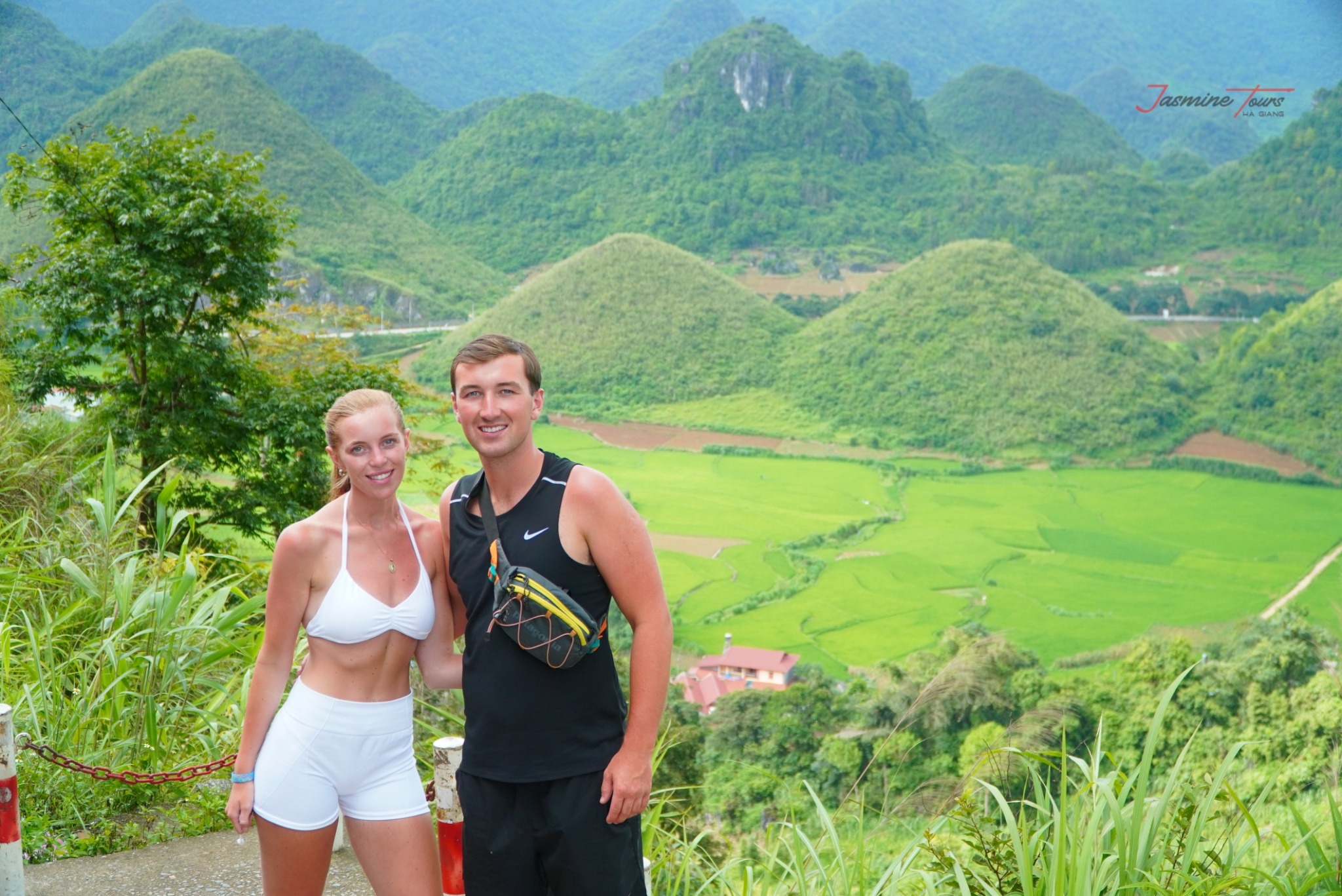
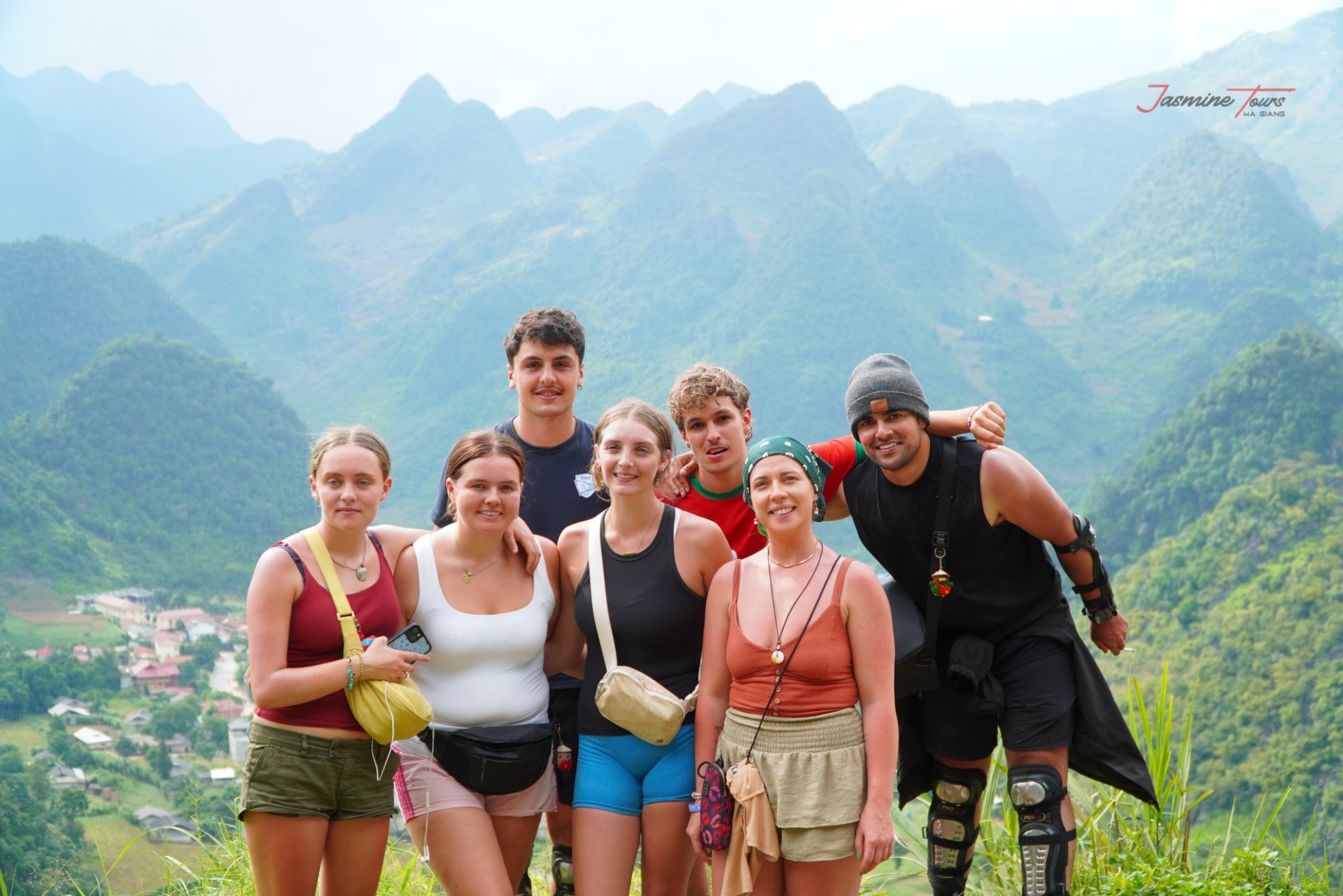
Quan Ba is often the first major stop after leaving Ha Giang City. This area gives travelers the first wide views of the northern mountains.
Quan Ba Heaven Gate is one of the most popular viewpoints. here, the landscape begins to open, and travelers can feel the scale of the journey ahead.
The Twin Mountains are also a famous symbol of the area. Their soft shape creates a gentle contrast with the surrounding valleys and peaks.
This part of the route is important because it changes the mood of the journey. The city begins to disappear. The mountains begin to take over.
For many travelers, Quan Ba is the moment they realize the Loop has truly begun.
Dong Van is one of the most important stops on the Loop. It sits in the rocky highlands and offers a strong sense of local culture.
Travelers may explore the old quarter, enjoy local food, visit markets, or walk around the town in the evening. The atmosphere feels different Ha Giang City. It is smaller, quieter, and surrounded by dramatic mountains.
The area around Dong Van is also close to several major highlights, including Lung Cu, Ma Pi Leng Pass, and many scenic roads.
For many travelers, Dong Van is where the journey becomes deeper. The landscape is powerful, but the culture makes it more meaningful.
It is a place to rest, look around, and feel the highland rhythm.
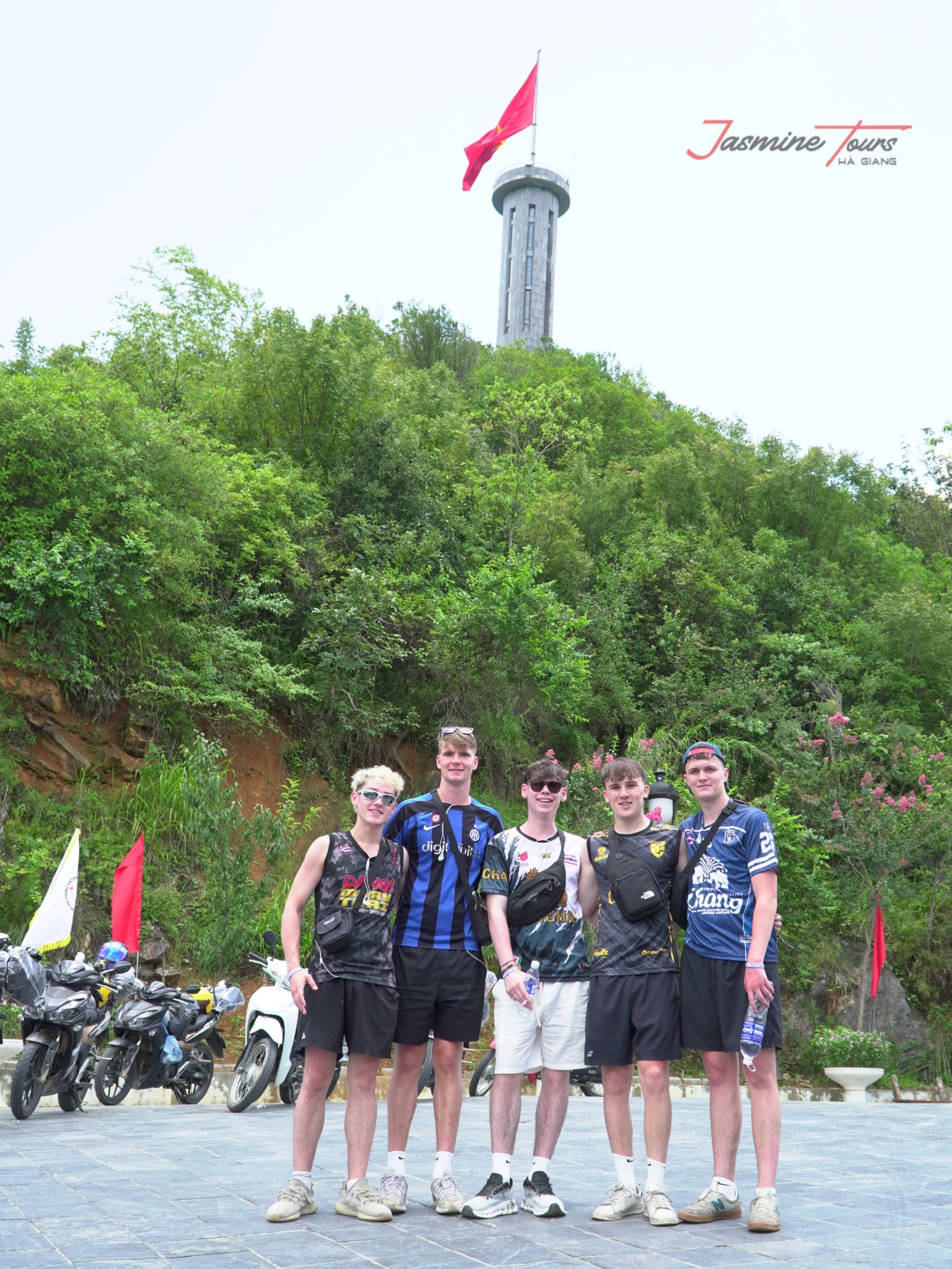
Lung Cu is often added during the Dong Van section. It is known for the flag tower and its symbolic position in northern Vietnam.
Not every short itinerary includes this stop, because it requires extra time. However, many travelers consider it worth visiting.
The road to Lung Cu passes through remote highland landscapes, rocky fields, local homes, and wide mountain views. The destination itself offers both scenery and emotion.
For travelers choosing a 4-day itinerary, this stop is usually easier to include without rushing.
A map may show Lung Cu as a side route, but emotionally, it can become one of the most meaningful parts of the Loop.
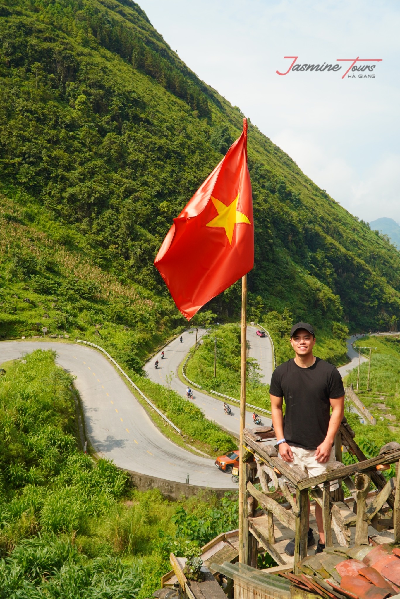
Ma Pi Leng Pass is one of the most famous parts of the Ha Giang Loop. It is often seen as the emotional heart of the journey.
The road runs along high cliffs and opens toward deep valleys below. The views can feel huge, almost unreal.
This section requires careful riding and good attention. The road is beautiful, but it should always be respected.
Many travelers stop at viewpoints along the pass to take photos and enjoy the scenery. Depending on the itinerary, they may also visit Nho Que River and Tu San Canyon nearby.
Ma Pi Leng is not just another point on the map. It is one of the moments many travelers remember most.
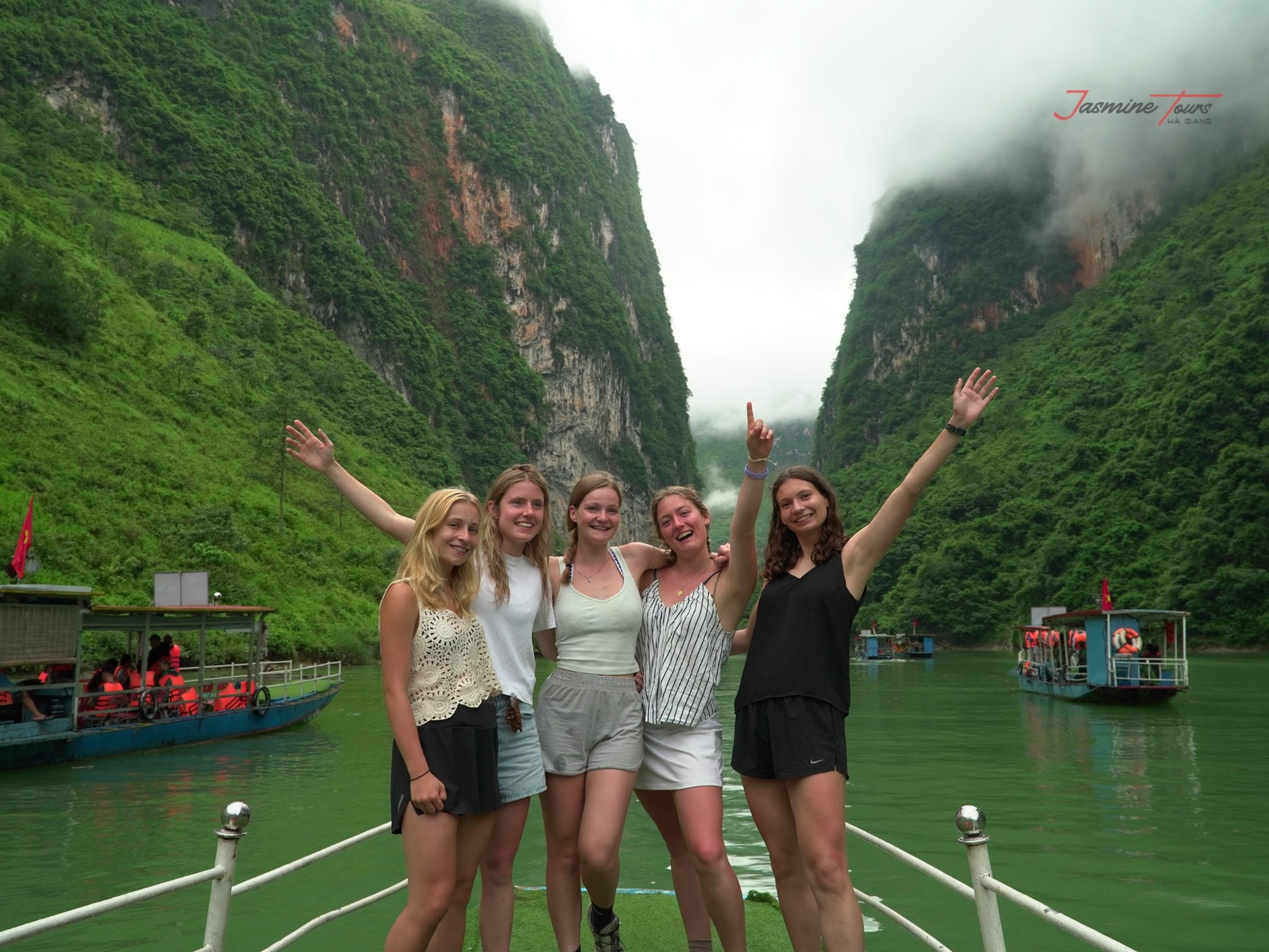
Near Ma Pi Leng Pass, many travelers visit Nho Que River and Tu San Canyon. This experience gives a different view of the landscape.
After seeing the canyon above, a boat ride allows travelers to feel the cliffs rising on both sides. The water, rocks, and silence create a strong contrast with the road above.
This stop may depend on timing, weather, and group schedule. It is easier to enjoy when the itinerary is not too rushed.
For many travelers, this river experience adds softness to the dramatic mountain route.
The map may show only a small river line. In reality, this area can feel like one of the most powerful scenes of the journey.
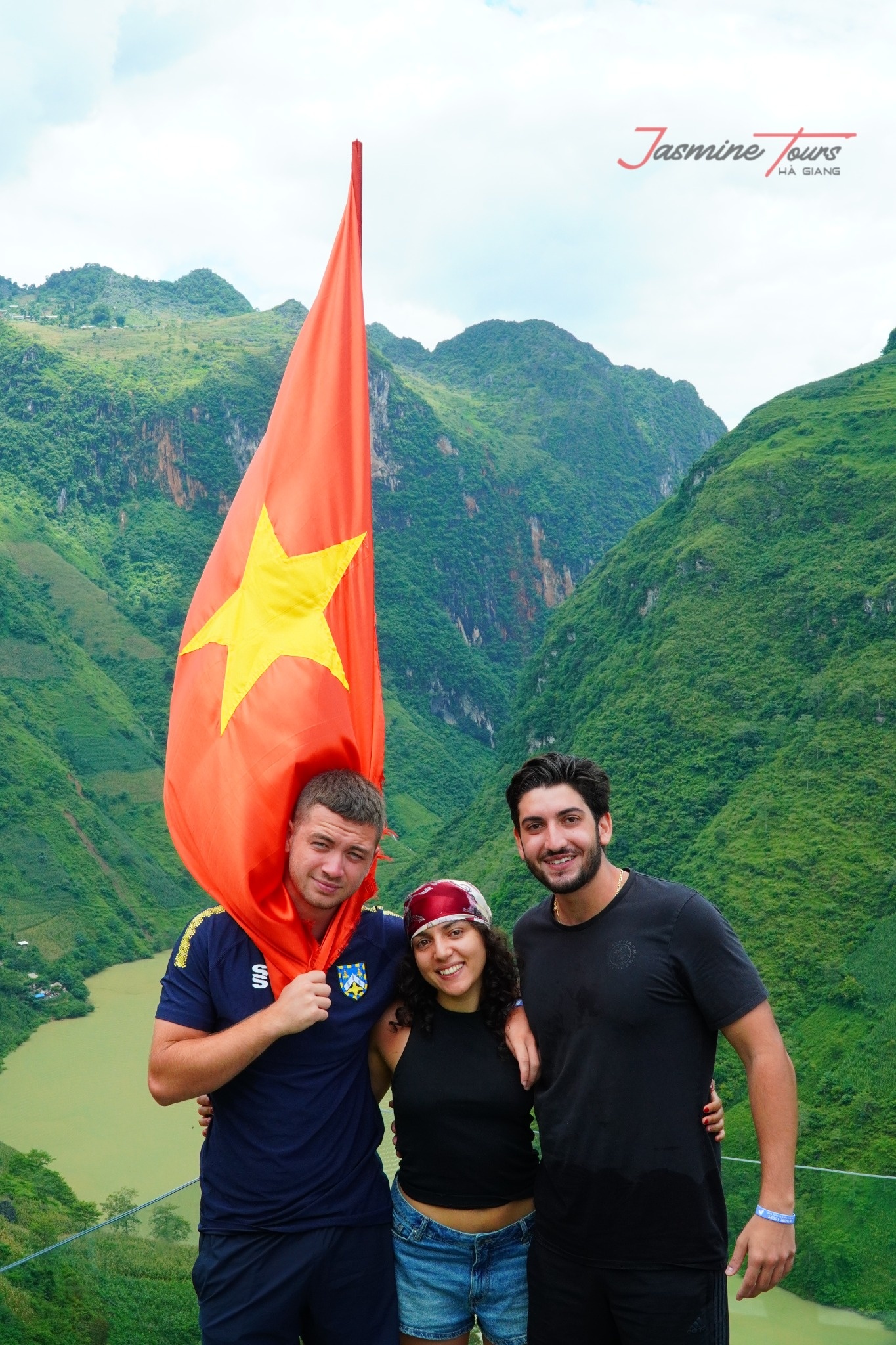
After Ma Pi Leng, the route often continues toward Meo Vac. This town sits among high mountains and is an important point between Dong Van and the next sections of the Loop.
Depending on the schedule, travelers may stop here for lunch, rest, or an overnight stay.
The area around Meo Vac has strong mountain character. Roads can be winding, scenic, and sometimes challenging.
This section connects the dramatic northern highlands with the greener roads toward Du Gia. It helps the journey shift sharp stone landscapes to softer valleys.
Meo Vac is not only a stop on the map. It is part of the transition in the journey’s feeling.
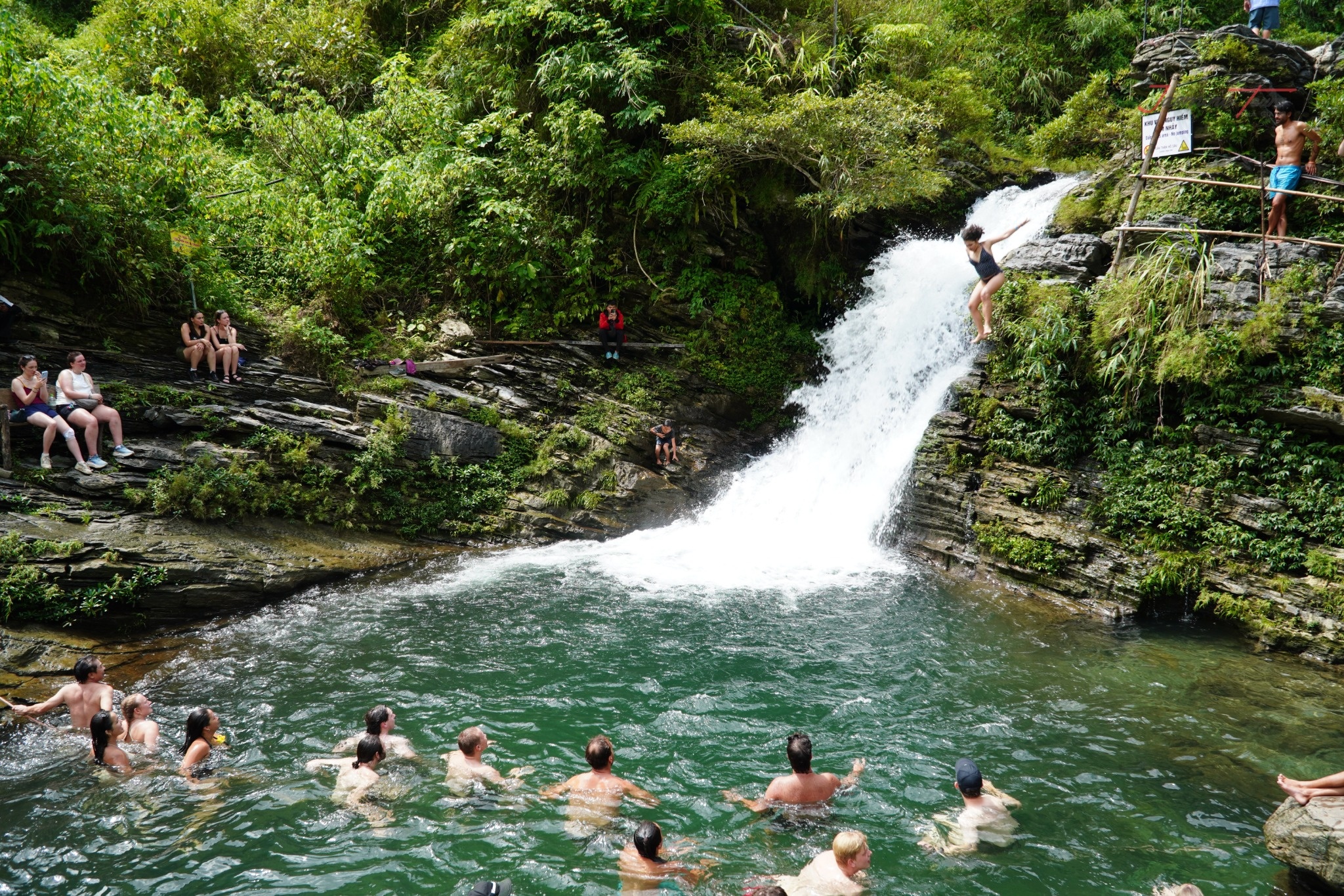
Du Gia often appears in the later part of the route. After the strong cliffs and rocky highlands, this village area feels calmer and greener.
Travelers love Du Gia for its peaceful roads, homestay atmosphere, local life, and natural scenery. Some itineraries may include a visit to the waterfall, depending on weather and timing.
This is a place where the journey slows down. After days of riding, travelers can rest, share a meal, and enjoy the quiet side of Ha Giang.
Du Gia gives the Loop emotional balance. It reminds travelers that adventure is not only about dramatic views. It is also about peace, connection, and small moments.
The Loop passes through mountains, forests, valleys, rivers, and villages. These landscapes are beautiful, but they are also fragile.
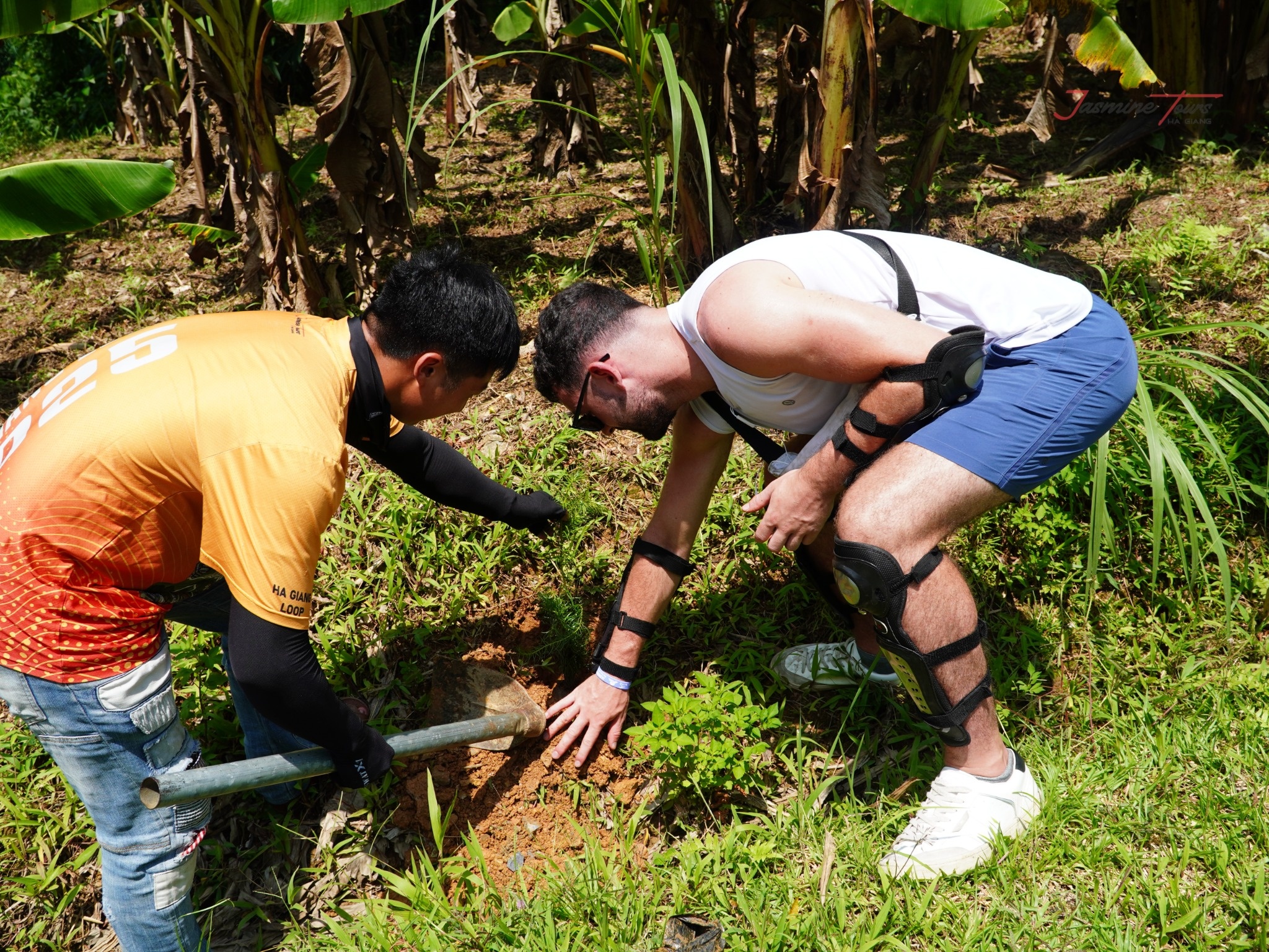
That is why Jasmine Tours created Plant Today – Green Tomorrow. This project connects travel with environmental action. During selected journeys, travelers can join tree-planting activities with local Easy Riders, Jasmine staff, and local households.
The idea is simple. A traveler comes to Ha Giang, receives memories, and leaves something living behind.
A photo keeps a memory.
A tree keeps growing.
Through this project, the route becomes more than a line on a map. It becomes a small act of care for the land that welcomed you.
Ha Giang Loop Map is helpful for understanding the route, but the real journey is much deeper than any map can show.
The Loop is a story of mountain roads, high passes, valleys, rivers, villages, homestays, local people, and changing weather. Each stop adds a different feeling to the journey.
With Jasmine Tours, travelers can explore the route by Easy Rider, Jeep, or self-ride, depending on comfort and experience. The goal is not only to complete the Loop. The goal is to feel it safely and meaningfully.
Ha Giang is not just a destination to mark on a map. It is a road to remember, a landscape to respect, and a journey that can stay with you long after you leave.
There is 0 comment, review about Ha Giang Loop Map: Plan Your Mountain Journey
TVQuản trị viênQuản trị viên
Xin chào quý khách. Quý khách hãy để lại bình luận, chúng tôi sẽ phản hồi sớm