
Shopping cart,
0 products
There are no products in your shopping cart.
Nội dung bài viết
A Ha Giang Loop map is more than a navigation tool. It provides travelers with a complete overview of Northern Vietnam's most iconic motorbike route, connecting breathtaking mountain passes, ethnic villages, limestone plateaus, rivers, and historical sites.
Unlike city maps, the HaGiang Loop map helps travelers understand:
Having a clear understanding of the route allows travelers to enjoy the journey instead of constantly worrying about where to go next.

Most travelers complete the Ha Giang Loop in either 3 or 4 days.
Highlights include:
The first day introduces travelers to the dramatic limestone mountains that make Ha Giang famous.
This section is often considered the most spectacular part of every Ha Giang Loop map.
Must-see attractions include:
Many visitors describe this day as one of the greatest motorcycle rides in Southeast Asia.
The scenery changes dramatically.
Instead of towering cliffs, travelers discover:
Du Gia is perfect for slowing down and experiencing local hospitality.
The final day offers:
Rather than simply returning, this final stretch allows travelers to appreciate how diverse the Ha Giang landscape truly is.
Every HaGiang Loop map should include these iconic destinations:
However, some of the most memorable experiences happen between these famous stops, where quiet roads lead through authentic villages untouched by mass tourism.
Many first-time visitors rely entirely on Google Maps.
While it works reasonably well, it has limitations:
Local guides often know safer and more scenic alternatives that are missing digital maps.
This is one reason many travelers choose a guided tour or an Easy Rider experience.
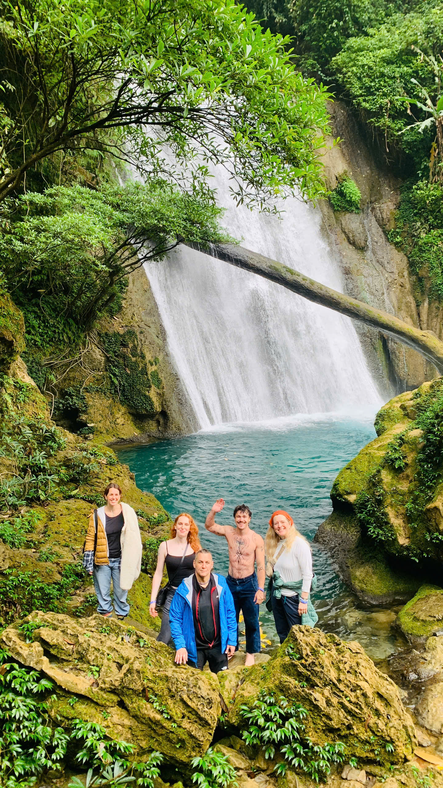
Best for travelers with limited time.
Focuses on:
The most recommended option.
Allows travelers to:
Ideal for photographers and slow travelers.
Additional stops may include:
A Ha Giang Loop map shows roads, mountains, and attractions—but it cannot show the lasting impact your journey can have.
At Jasmine Tours, we believe travel should leave destinations better than we found them. That belief inspired our Plant Today – Green Tomorrow project.
During selected tours, travelers have the opportunity to plant a young tree alongside local Easy Rider families in carefully chosen reforestation areas. Each tree contributes to restoring green hillsides, improving soil stability, and creating long-term environmental benefits for local communities.
For many visitors, this becomes one of the most meaningful moments of the entire trip. Long after the photographs are shared and the roads are behind them, a tree continues to grow in Ha Giang—symbolizing a connection between traveler and destination.
The journey becomes more than an adventure. It becomes a legacy.

Planning the route is only part of the experience.
Jasmine Tours offers:
Rather than simply following a map, you'll experience Ha Giang through the people who call these mountains home.
Before starting your adventure:
Remember that the Ha Giang Loop isn't a race. The best memories are often made when you slow down.

A Ha Giang Loop map is the beginning of your adventure, but it doesn't tell the whole story. The winding roads, breathtaking mountain passes, and welcoming ethnic communities create an unforgettable journey that no map can fully capture.
Whether you're riding independently, joining an Easy Rider tour, or exploring by jeep, taking the time to understand the route will help you travel more safely and confidently. And through Jasmine Tours' Plant Today –Green Tomorrow initiative, your trip can leave behind more than memories—it can leave a living contribution to the landscapes that make Ha Giang so extraordinary.
The best journeys don't end when you return home. Sometimes, they continue growing, one tree at a time.
There is 0 comment, review about Ha Giang Loop Map: Complete Route Guide & Essential Travel Tips
TVQuản trị viênQuản trị viên
Xin chào quý khách. Quý khách hãy để lại bình luận, chúng tôi sẽ phản hồi sớm