
Shopping cart,
0 products
There are no products in your shopping cart.
Nội dung bài viết
A Ha Giang Loop Map is a route guide that helps travelers understand the main circuit through northern Vietnam’s mountain region. The Loop usually starts and ends in Ha Giang City, then passes through famous areas such as Quan Ba, Yen Minh, Dong Van, Ma Pi Leng Pass, Meo Vac, Du Gia, and back to Ha Giang.
But the map is not only about distance. It is about experience.
One section may bring you through limestone mountains. Another may take you across quiet valleys. Some roads are famous for viewpoints. Others are memorable because of small villages, homestays, markets, or local meals.
A good route plan helps you avoid rushing. It gives you enough time to enjoy the views, rest safely, and understand why Ha Giang is more than just a motorbike road.

2. The Classic Ha Giang Loop Route
Most travelers begin the journey in Ha Giang City. there, the route usually follows this direction:
Ha Giang City → Quan Ba → Yen Minh → Dong Van → Ma Pi Leng Pass → Meo Vac → Du Gia → Ha Giang City.
This is the classic version of the Loop. It gives travelers a balanced mix of mountain passes, villages, viewpoints, local food, and homestay experiences.
Quan Ba is often the first major mountain stop. Yen Minh offers pine forests and peaceful roads. Dong Van is known for its old town, stone landscapes, and access to Lung Cu. Ma Pi Leng is one of the most dramatic passes in Vietnam. Meo Vac brings a strong mountain-town feeling. Du Gia offers a softer ending with green valleys, waterfalls, and village life.
A map can show the road, but the real journey is what happens between the stops.
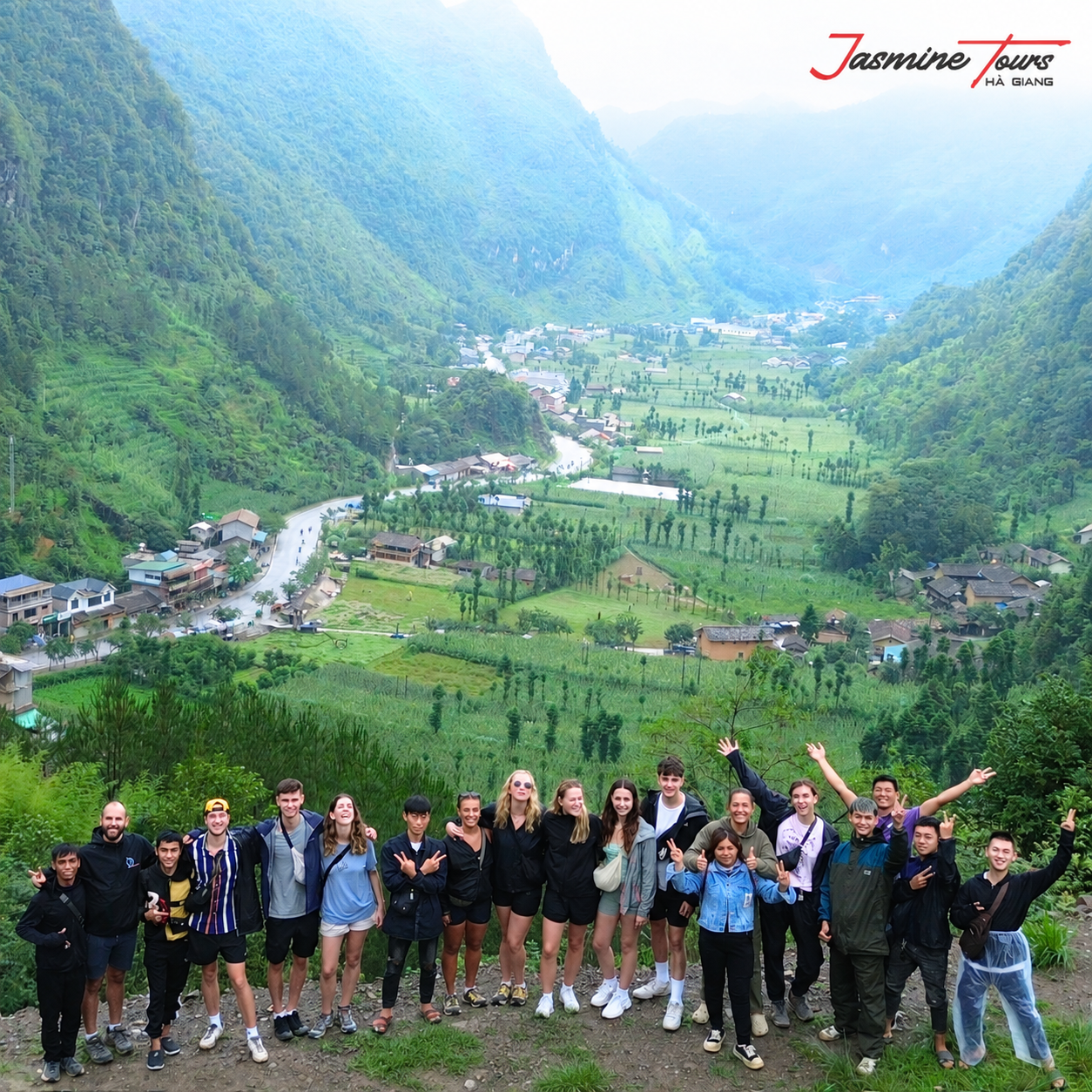
A 3-day route is suitable for travelers with limited time. It usually covers the main highlights and gives a strong first experience of Ha Giang. However, the pace can feel faster, especially if you want more time for photos, local stops, and rest.
A 4-day route is often more comfortable. It allows travelers to slow down, enjoy the scenery, and spend more time in places like Dong Van, Ma Pi Leng, Nho Que River, and Du Gia. This option is especially good for people who want a deeper experience rather than simply checking off famous locations.
If you are using a Ha Giang Loop Map to plan your trip, remember that distance can be misleading. A road that looks short on the map may take longer because of sharp curves, steep climbs, photo stops, weather, or road conditions.
The best route is not always the fastest one. It is the one that gives you enough space to feel the mountains.

The Loop is full of famous stops, but a few places are especially important for first-time travelers.
Quan Ba Heaven Gate gives you the first big mountain view of the journey. It is often the moment travelers realize Ha Giang will be different the rest of Vietnam.
Twin Mountains is a well-known natural landmark near Quan Ba. It is a peaceful stop for photos and a first look at the valley landscape.
Tham Ma Pass is one of the most photographed roads on the Loop. The curved mountain road is beautiful, but it should still be treated with care.
Dong Van Old Quarter offers a slower evening atmosphere with stone houses, small cafes, and mountain-town charm.
Lung Cu Flag Tower is often known as the northernmost landmark of Vietnam. It is a meaningful cultural stop for many visitors.
Ma Pi Leng Pass is one of the most powerful sections of the journey. The cliffs, road, and views over the valley make it unforgettable.
Nho Que River and Tu San Canyon offer a different perspective of the landscape. Instead of looking down above, you move through the canyon by boat and feel the mountains rising around you.
Du Gia Village is a calm and green ending for many Loop journeys. It is known for homestays, rice fields, waterfalls, and a more relaxed village rhythm.
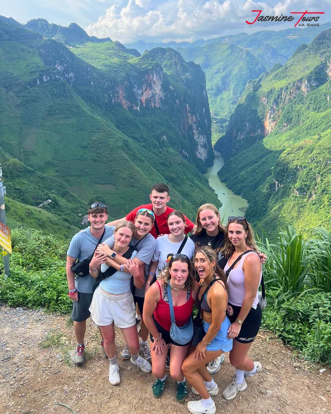
Looking at a map may make the Loop seem simple, but the road is more challenging than it appears. That is why choosing the right travel style matters.
An Easy Rider is a strong choice for travelers who want the motorbike feeling without riding by themselves. Local drivers understand the road, weather, and traffic. This is ideal for beginners, solo travelers, couples, and guests without valid motorbike licenses.
Self-riding gives more freedom, but it requires real experience. Ha Giang is not the right place to learn how to ride for the first time. The roads include steep sections, blind corners, gravel, animals, trucks, and sudden weather changes.
A Jeep tour is a great option for travelers who want comfort, stability, and more space. You still follow the mountain route, but with less physical pressure.
The best way to use a Ha Giang Loop Map is not only to choose where to go, but also how to go safely.
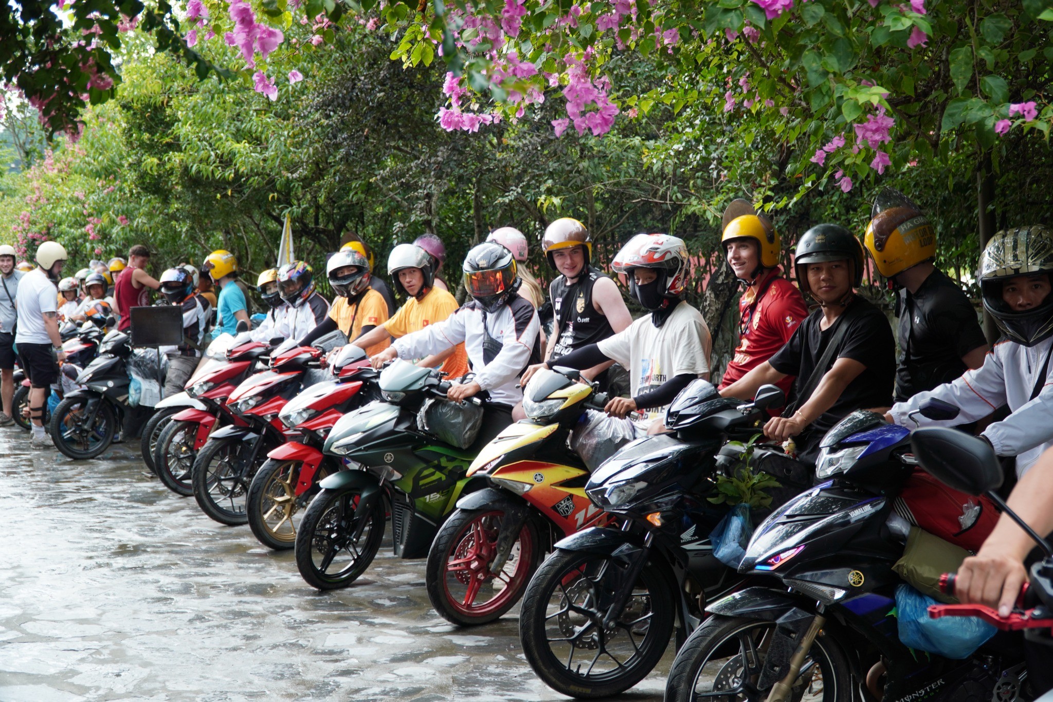
A map can guide you, but it cannot protect you. Safe travel depends on your choices.
Do not rush the journey. The Loop is not a race. Many accidents happen when travelers ride too fast, especially on curves or wet roads.
Avoid riding at night. Mountain roads become much harder to read after dark, and visibility can drop quickly.
Respect the weather. Rain, fog, and cold air can change road conditions. If the road feels unsafe, slow down or stop.
Pack light. A small backpack is easier and safer than carrying too much luggage.
Listen to local guides. Easy Riders and local tour leaders understand the route in ways that a digital map cannot.
The safest journey is often the most enjoyable one because you have enough peace to notice the beauty around you.

A route map shows where you travel, but it does not always show what your journey leaves behind.
At Jasmine Tours, we believe the Ha Giang Loop should be more than a beautiful road trip. It should also create positive value for the land and local people. That belief inspired Plant Today – Green Tomorrow.
During selected journeys, travelers can take part in planting trees with support local Easy Riders, Jasmine staff, and local households. This activity turns the Loop something more meaningful. You are not only passing through the mountains; you are helping protect their future.
A tree may seem small in the moment. But over time, it can help create greener hillsides, support soil stability, and build a stronger emotional connection between travelers and Ha Giang.
Some people follow the map and leave only footprints.
Others leave something living behind.

Ha Giang Loop Map is a useful starting point, but the real journey is much deeper than directions. The Loop is not just a route Ha Giang City to Quan Ba, Dong Van, Ma Pi Leng, Meo Vac, Du Gia, and back again. It is a road through mountains, villages, culture, weather, silence, and unforgettable views.
With Jasmine Tours, your journey can be safer, smoother, and more meaningful. You can choose an Easy Rider if you want to relax and enjoy the scenery, a Jeep if you want more comfort, or self-ride if you have the right experience and documents.
A good map helps you know where you are going. A good journey helps you understand why the place matters.
And through Plant Today – Green Tomorrow, your trip can continue even after the road ends. Somewhere in Ha Giang, a young tree may keep growing long after your photos are saved and your bags are packed. That is the kind of travel worth remembering.
There is 0 comment, review about Ha Giang Loop Map : A Simple Guide to the Best Route
TVQuản trị viênQuản trị viên
Xin chào quý khách. Quý khách hãy để lại bình luận, chúng tôi sẽ phản hồi sớm