Shopping cart,
0 products
There are no products in your shopping cart.
Nội dung bài viết
A reliable Cao Bang Loop is essential for anyone planning to explore one of northern Vietnam’s most scenic and peaceful road trips. Unlike more famous routes, the Cao Bang Loop remains largely untouched, winding through limestone mountains, waterfalls, caves, lakes, and ethnic villages.
This guide explains how to read the Cao Bang Loop, what routes are included, key destinations along the way, and how to plan your trip efficiently and safely.
The Cao Bang Loop is a circular travel route that usually:
Starts and ends in Cao Bang City
Covers 300–350 kilometers
Takes 3–4 days to complete comfortably
The loop connects Cao Bang’s most important natural and historical attractions, making the map a practical tool for planning stops, overnight stays, and daily distances.
A standard Cao Bang Loop highlights:
Main mountain roads and scenic passes
Distances between major destinations
Overnight towns and villages
Key attractions and viewpoints
Because the region is mountainous, the map helps travelers avoid underestimating travel time. Short distances on the map often translate long but scenic drives.
Most Cao Bang Loop include the following highlights:
Cao Bang City
The main transport hub and starting point.
Pac Bo Historical Site
A major historical landmark where President Ho Chi Minh lived in 1941.
Lenin Stream
A crystal-clear stream near Pac Bo, often marked close by on the map.
Thang Hen Lake
A chain of emerald lakes hidden among limestone hills.
Ma Phuc Pass
One of the most beautiful mountain passes in Cao Bang.
Ban Gioc Waterfall
The largest and most famous waterfall in the region.
Nguom Ngao Cave
A limestone cave located near Ban Gioc Waterfall.
Angel Eye Mountain
A unique limestone mountain with a giant natural hole.
These locations form the backbone of most Cao Bang Loop routes.
A common route shown on a Cao Bang Loop looks like this:
Day 1: Cao Bang City → Pac Bo → Thang Hen Lake
Day 2: Thang Hen → Ma Phuc Pass → Ban Gioc Waterfall
Day 3: Ban Gioc → Nguom Ngao Cave → Angel Eye Mountain
Day 4: Return to Cao Bang City
This route balances driving time with sightseeing and allows for photography and village visits.
While digital maps are helpful, travelers should note:
Mobile signal can be weak in remote areas
Mountain roads may not always appear accurately online
Weather can affect road conditions
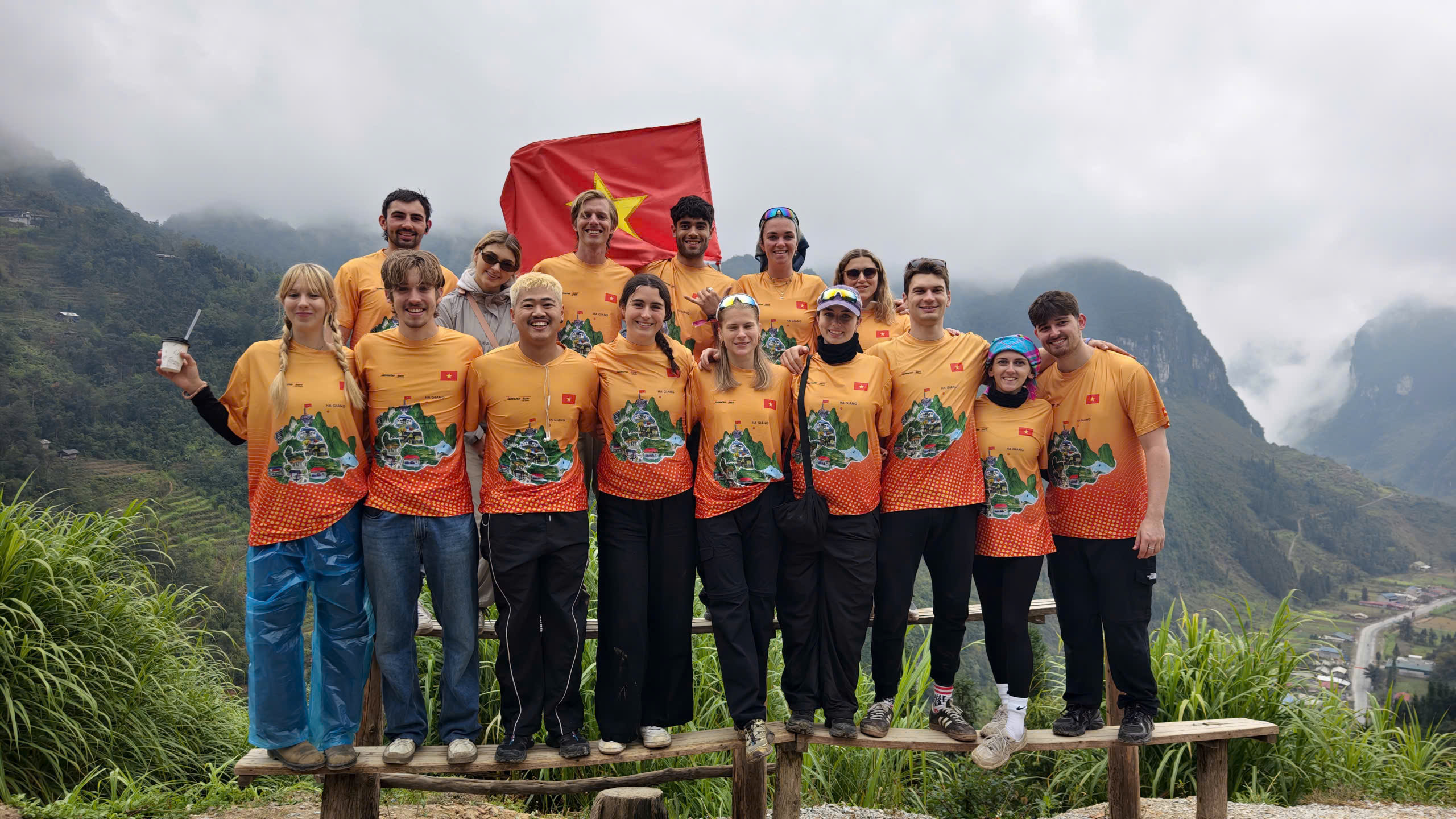
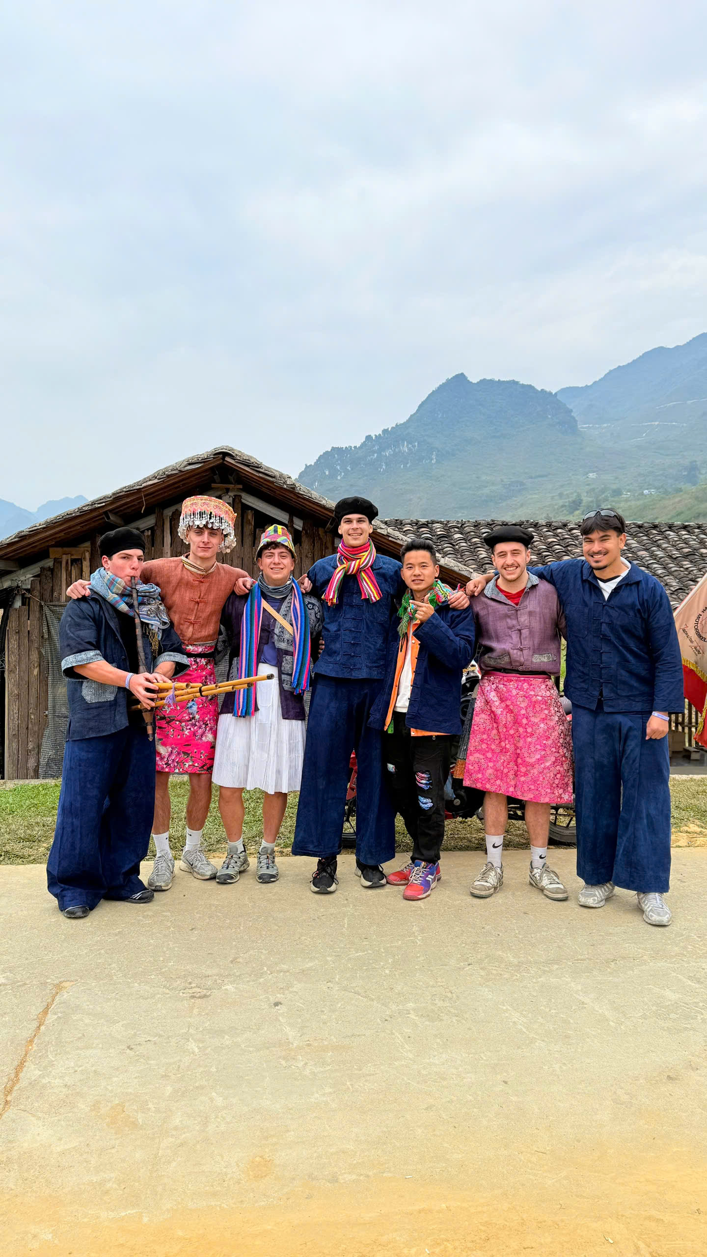
Many travelers choose to follow a guided route with local operators such as Jasmine Tours, who provide up-to-date maps, experienced drivers, and optimized daily distances.
.jpg)
A Cao Bang Loop is especially useful for:
Independent travelers planning self-drive trips
Photographers timing sunrise and sunset stops
Families choosing safe overnight locations
Jeep or SUV tours planning efficient routes
Even guided travelers benefit understanding the overall loop structure.
A well-planned journey begins with a clear Cao Bang Loop.
More than just lines on paper, the map reveals a route filled with waterfalls, lakes, caves, mountain passes, and living culture.
By understanding the map and pacing the journey correctly, travelers can experience Cao Bang not as a destination to rush through, but as a region to explore slowly and meaningfully.
Explore the Cao Bang Loop Map with Jasmine Tours, where local expertise turns every route a smooth, scenic, and perfectly guided journey.
There is 0 comment, review about Cao Bang Loop Map – A Complete Guide to Planning Your Journey
TVQuản trị viênQuản trị viên
Xin chào quý khách. Quý khách hãy để lại bình luận, chúng tôi sẽ phản hồi sớm